News
US East Coast Braces for Bomb Cyclone: Severe Weather, Power Outages, and Flooding Expected

The U.S. East Coast is preparing for a potentially devastating storm as a bomb cyclone develops, bringing with it the threat of severe weather, power outages, and significant flooding. The storm, which began with a combination of fog and light freezing rain on Tuesday night into early Wednesday, has already made travel treacherous in parts of New England. Ice accumulation led to hazardous conditions, including a tractor-trailer crash on the Maine Turnpike in New Gloucester, where the driver lost control and hit the median guardrail, though fortunately, the driver was not injured.
Utility companies in the region, such as Central Maine Power, are gearing up for potential power outages due to the strong winds. Utility crews have been pre-staged in areas expected to be hit the hardest. However, once winds reach 30 miles per hour or higher, it becomes unsafe for crews to work in the air, complicating repair efforts.
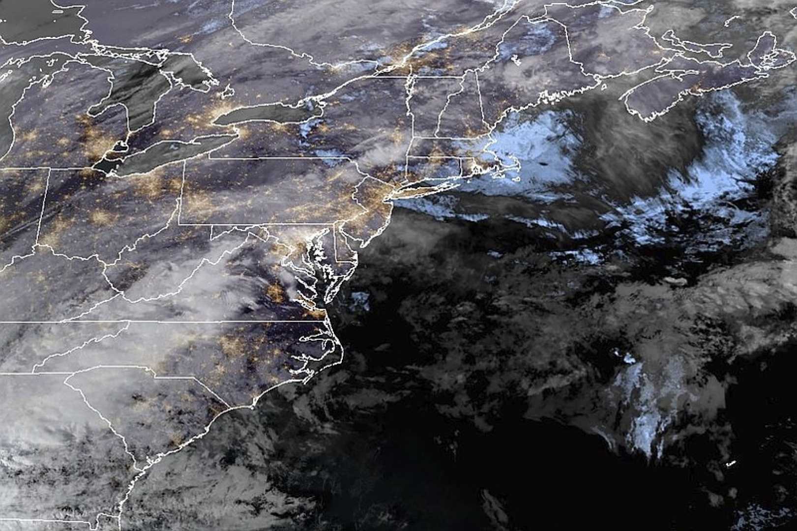
The worst of the weather is anticipated between 5 p.m. and 10 p.m., with the heaviest rain and strongest winds expected during this period. This severe weather is driven by an atmospheric river, a long band of water vapor transporting moisture from the tropics to northern areas. New England is particularly vulnerable as the storm taps moisture from the Atlantic Ocean off the U.S. Southeast and transports it to areas like Maine.
The storm’s rapid intensification, known as bombogenesis or a “bomb cyclone,” has the potential to bring severe rainfall and flooding. Parts of the Northeast, including New Hampshire and Vermont, are under flood watches and special weather bulletins. In Vermont, residents are advised to elevate items in basements and low areas prone to flooding, while ski resorts are preparing visitors for a potentially messy day.
In addition to the flooding and wind threats, the Mount Washington Avalanche Center in New Hampshire issued a special bulletin for the Presidential Range of mountains, warning of dangerous and unpredictable avalanche conditions due to heavy rainfall on steep snow-covered slopes.


