Florida Faces Severe Thunderstorms and Tornado Risk This Week
TAMPA, Fla. — Floridians are preparing for a week filled with severe thunderstorms and potential tornadoes as a low-pressure system moves into the state.
The system, which produced four tornadoes in the Florida panhandle on Saturday, is expected to bring significant rain beginning Sunday and continuing into the week. Meteorologist Valerie Mills from FOX 13 reported that rainfall totals could reach 1 to 3 inches in the Tampa Bay Area, with isolated spots potentially receiving even more.
“We are really going to ramp up our storm coverage,” Mills said, noting a forecasted 60% coverage of storms on Sunday, increasing to 80% on Monday.
Highlands County Emergency Management shared images of storm damage, including a toppled steeple caused by wind gusts reaching 47 MPH. Central Florida will see the heaviest rain early in the week, with lighter weather anticipated by evening.
Looking beyond Monday, forecasters predict a 20% chance of rain on Tuesday and just 10% on Wednesday, but the threat of thunderstorms will remain elevated as conditions develop.
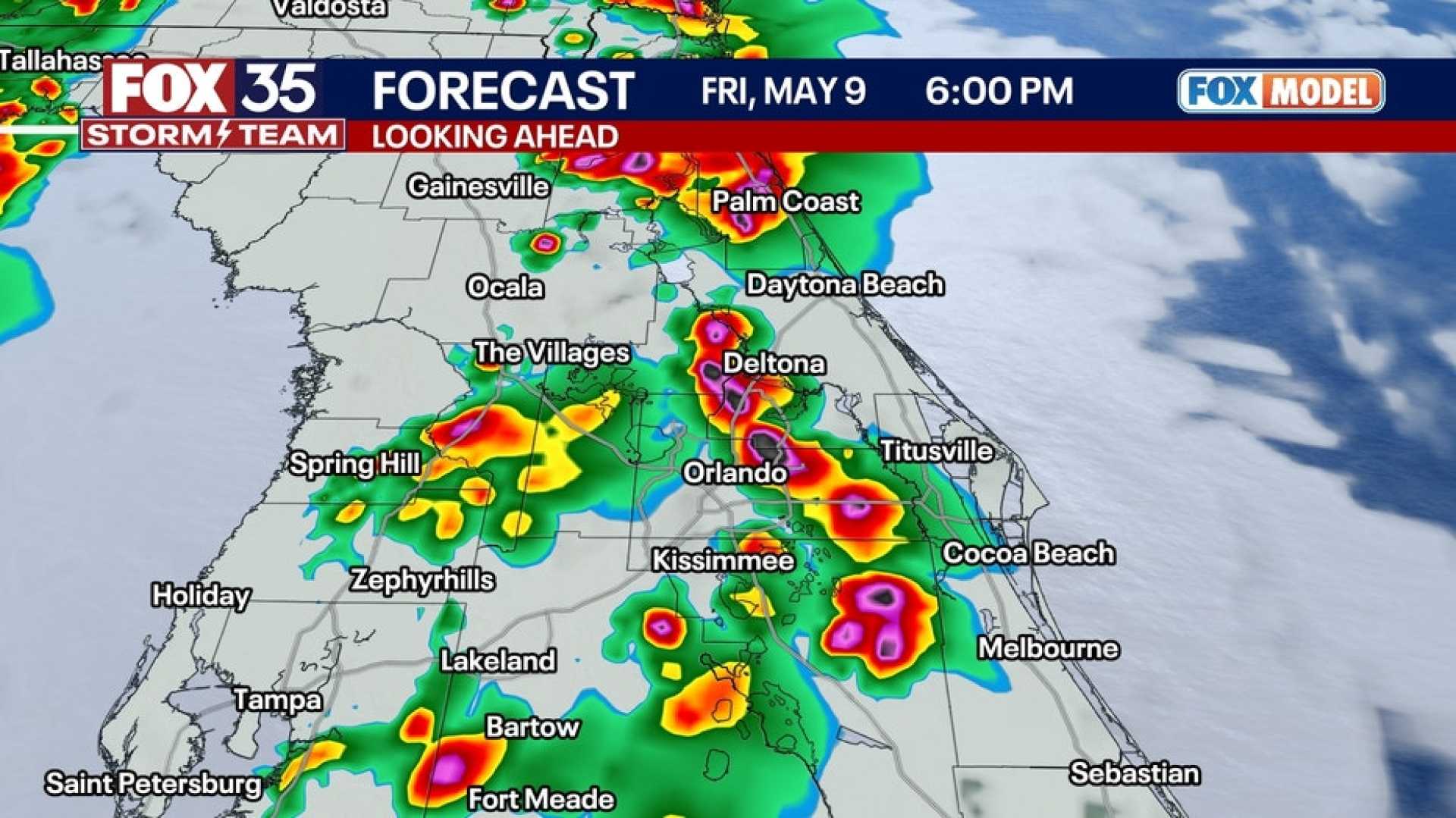
The National Weather Service warns of the potential for gusty winds, hail, and even tornadoes, particularly along the coast. These storms bring high risks of flash flooding, especially in areas already suffering from drought.
A Dense Fog Advisory is also in effect for parts of the state this morning. As the week progresses, while areas like Tallahassee might dodge severe storms, Tampa and Jacksonville should remain alert for strong thunderstorms anticipated later in the week, particularly on Thursday.
As thunderstorms continue throughout the week, the combination of heavy rain and long-term drought conditions will increase the risk of wildfires, as lightning may trigger dangerous blazes.
Despite the rain, sensitive wildfire conditions persist due to the state’s prolonged drought, highlighting the complex challenges facing Florida’s weather this week.