Gusty Winds Create Hazardous Conditions in South Florida
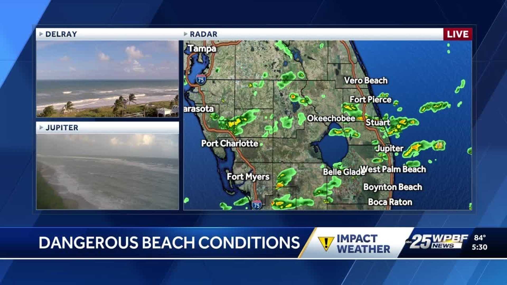
WEST PALM BEACH, Fla. — South Florida is experiencing hazardous marine and beach conditions as breezy and gusty winds prevail heading into the weekend.
While overall weather patterns remain dry, there is a chance of isolated showers, particularly around Lake Okeechobee. Meteorologists say a weak boundary is drifting south across the region, establishing a high-pressure system.
This high-pressure area is expected to produce winds between 15 to 20 knots. Occasional gusts may reach up to 25 knots, creating challenging conditions along the coast.
Temperatures in South Florida are forecasted to be warm, with daytime highs in the mid to upper 80s. Nighttime lows will drop to between the mid-60s and mid-70s.
As the weekend progresses, the high pressure will continue to keep northeasterly winds fresh and breezy. Low-level moisture is predicted to return, especially over the Atlantic and along the East Coast, potentially leading to isolated showers and afternoon thunderstorms.
Looking ahead to early next week, the high-pressure system is expected to move eastward. This movement may result in deeper moisture returning to the area, increasing the chances for rain.
By late next week, forecasters are predicting a stronger cold front, which could bring cooler temperatures and drier air.
For now, residents are encouraged to enjoy the warm weather but stay cautious of the hazardous conditions at the beach.