Massachusetts Faces Icy Commute as Winter Storm Unleashes Snow and Rain
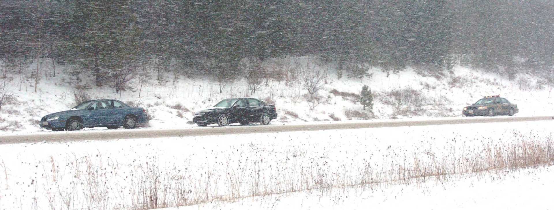
BOSTON, Mass. — A winter storm has brought a mix of snow, sleet, and rain to Massachusetts, creating hazardous travel conditions during the Thursday morning commute. The storm transitioned to a wintry mix early Thursday as light snowfall from overnight gave way to rain, leading to slippery roads and numerous school delays.
A winter weather advisory is in effect until 10 a.m. Thursday, with the mixed precipitation expected to wrap up by late morning, according to StormTeam 5 Chief Meteorologist Cindy Fitzgibbon. “The temperatures are running near the freezing mark, which is causing the problematic snow and ice situation,” Fitzgibbon warned. “We need to be particularly cautious as the wintry mix settles on cold surfaces.”
Early reports indicated light snow accumulations, measuring less than an inch, but the following mix of sleet and rain is likely to create a slushy mess. Fitzgibbon states, “The afternoon will bring drier conditions and skies clearing late tonight, with lows expected to dip into the teens and twenties.”
As commuters navigate the slick roads, various school districts across the state have announced schedule delays in anticipation of challenging travel conditions. The precipitation should ease, allowing for improved road conditions as temperatures climb above freezing into the afternoon.
Looking ahead, another winter storm is predicted to arrive Saturday, beginning with snow before turning into a wintry mix or rain on Sunday. Fitzgibbon highlighted the potential for accumulating snow across northern regions, whereas higher areas may see several inches. “If you have any travel plans for the weekend, be prepared for possible icy conditions through Sunday,” she advised, emphasizing that the best chance for snow accumulation will be in northern New England.
Friday, also known as Valentine’s Day, is expected to be a bright but windy day, with gusts reaching up to 40 mph. Highs will remain chilly in the low to mid-20s. Saturday’s storm, which arrives later in the day, could lead to a significant winter weather event with mixed precipitation expected throughout Sunday before tapering off. Residents are encouraged to keep an eye on forecast updates as the storm approaches.