Phoenix Faces Record Heat as Monsoon Season Approaches
PHOENIX, Arizona — A scorching start to the week is underway as Phoenix battles extreme heat, with temperatures likely reaching record highs. The National Weather Service issued an Extreme Heat Warning in effect through Tuesday, forecasting a high of 113 degrees.
Temperatures are already making headlines, with Phoenix tying a record at 115 degrees by 3 p.m. on Monday. A forecast low of 92 degrees overnight could also break Tuesday’s record for warm lows, set in 2013. Residents are advised to stay hydrated and avoid outdoor activities during peak heat hours, as the risk for heat-related illnesses remains elevated.
The heat is expected to shift later in the week, with monsoon moisture bringing a chance of thunderstorms across southeastern Arizona and the mountains. The Phoenix area may also experience the effects of these storms, particularly by Wednesday evening when the chance of rain increases.
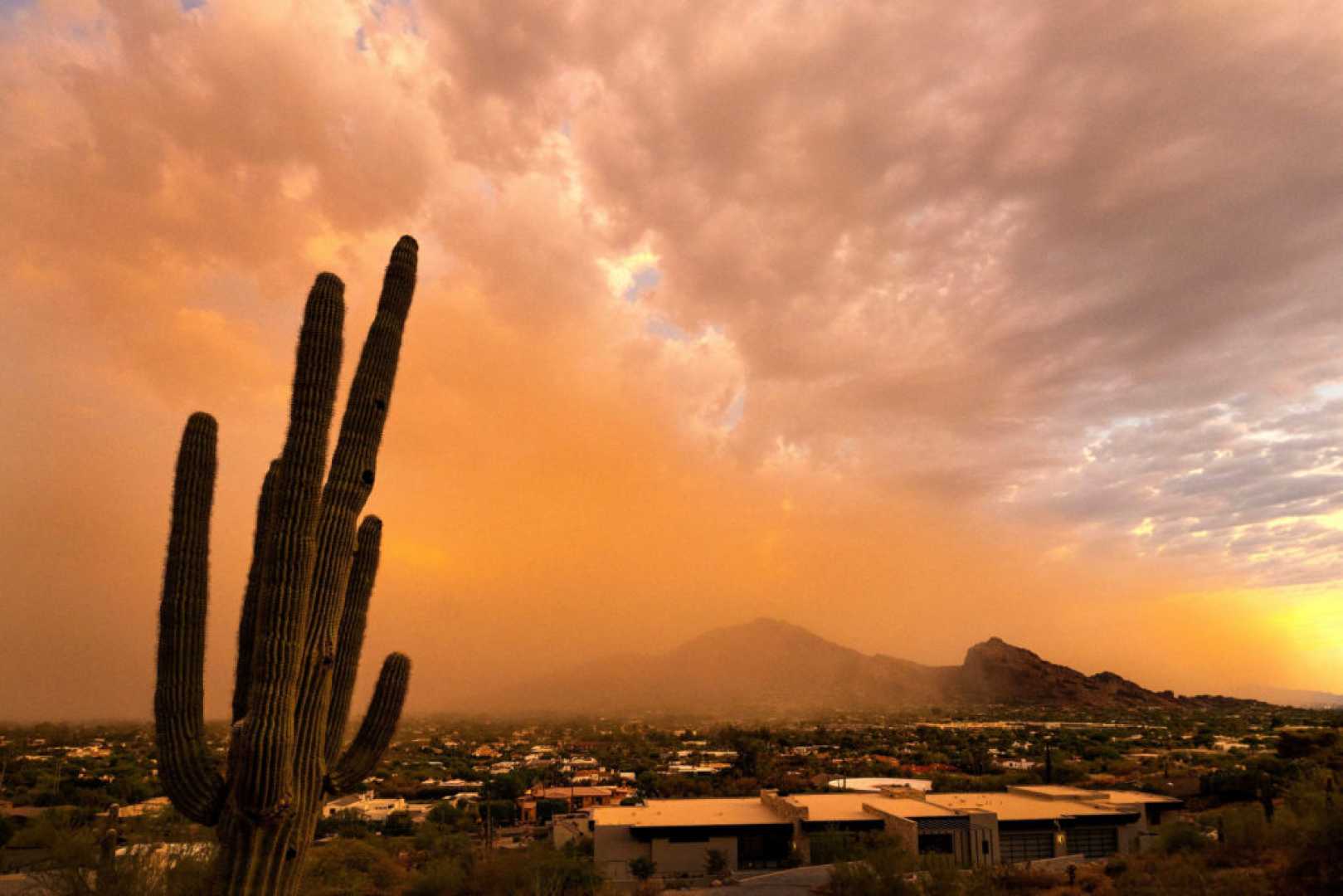
Wind gusts nearing 50 miles per hour were reported with storms in eastern Arizona, creating hazards such as blowing dust, especially near Safford and Tucson. A Blowing Dust Advisory is in effect from 1 to 10 p.m. Across southeastern Arizona, visibility can drop to a mile or less.
Local meteorologists urge residents to be cautious, reminding them to pull aside and stay alive if caught in low visibility conditions. Those with heart or lung conditions should stay indoors to avoid inhaling dust.
The forecast suggests that while chances for storms will rise early in the week, they will decline as the 4th of July holiday approaches. By Saturday and Sunday, Phoenix is expected to dry out, with temperatures settling to below average levels. Storms later this week may bring heavy rainfall and flash flooding, particularly near areas impacted by previous fires.
For updates on storm conditions, residents can visit abc15.com.