News
Severe Storms Slam Sierra Nevada with Heavy Snow, Winds
RENO, NV – A powerful storm system is forecast to hit the Sierra and western Nevada from Sunday through Tuesday, bringing heavy rainfall, mountain snow, and strong winds, according to the National Weather Service.
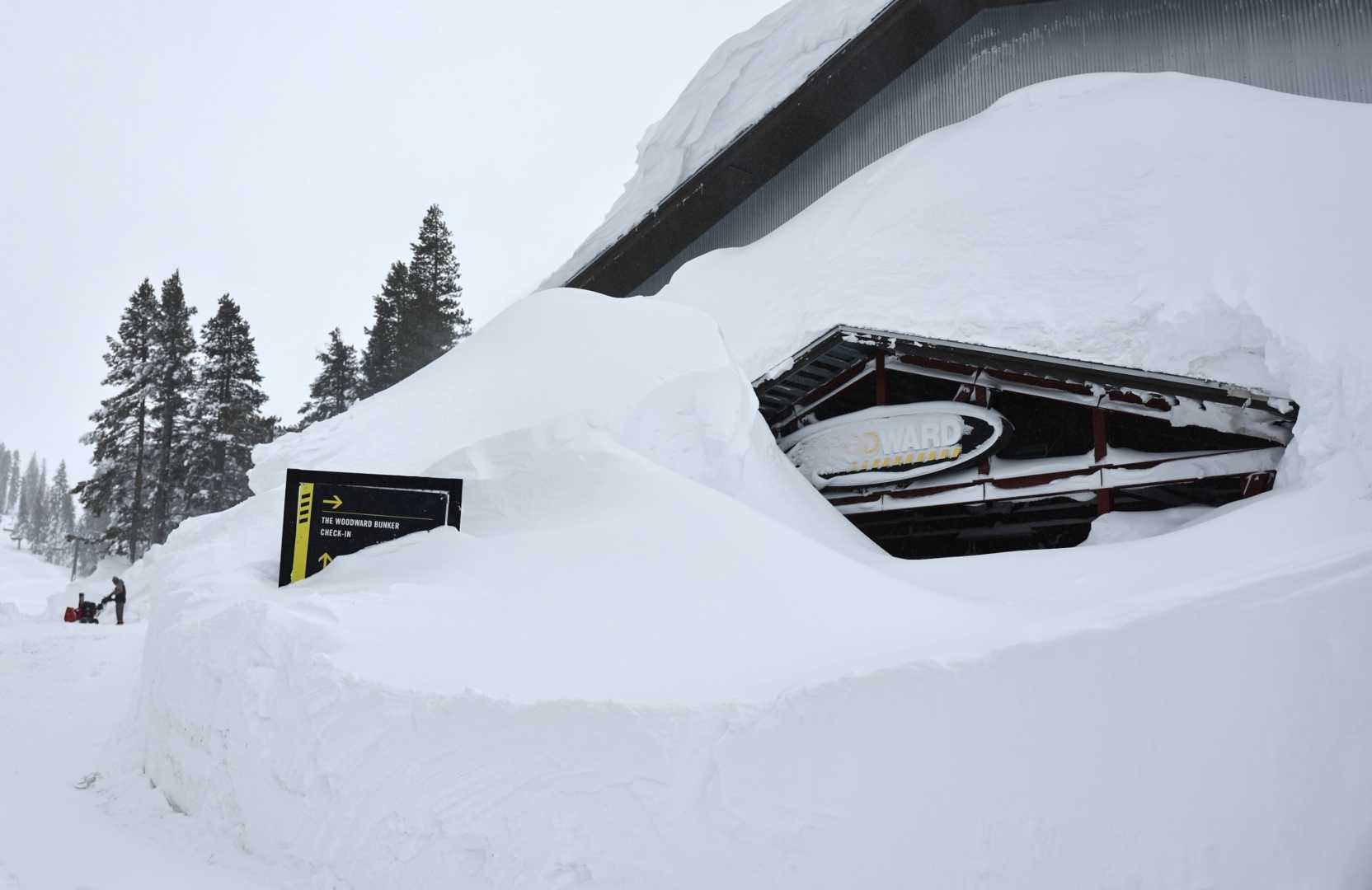
Snowfall may reach up to two feet along the Sierra ridges by Tuesday morning, with areas below 7,000 feet in the Tahoe Basin expecting 6 to 12 inches. Lower elevations, including Truckee, South Lake Tahoe, and Mammoth Lakes, are likely to experience a mix of rain and snow, which could lead to hazardous travel conditions during Monday’s commute.
Wind gusts are expected to intensify on Sunday afternoon, peaking on Monday at 40 to 50 mph in the valleys. Another round of rain and snow is anticipated on Tuesday, followed by a gradual drying trend later in the week.
“Travelers should be prepared for potentially dangerous conditions,” said meteorologist John Smith of the National Weather Service in Reno. “It’s crucial to pay attention to weather updates as conditions change.”
In Northern California, a similar storm system is moving in, promising gusty winds, heavy snow, and a risk of thunderstorms. The National Weather Service indicated that coastal regions from Central California to the Pacific Northwest will see scattered thunderstorms, particularly near the California-Oregon border, where the heaviest rain is expected.
The Sierra Nevada and northern California mountain ranges could see 1 to 2 feet of snowfall, with higher elevations potentially receiving up to 5 feet. Wind gusts could reach up to 55 mph in parts of northern California and southern Oregon.
The Storm Prediction Center has issued warnings for the northern Sierra and southern Cascades, urging residents to remain vigilant and cautious.
As the storm system progresses northeast, it will bring precipitation into the Rockies by Tuesday, prompting additional weather advisories across the region.
“Drivers should avoid travel if possible and stay updated with the latest alerts from the National Weather Service,” urged Sacramento meteorologist Carol Jones. “Safety should be the top priority as storms can lead to whiteout conditions and reduced visibility.”
As calm conditions are expected later in the week, residents are advised to prepare for potential flooding and travel disruptions due to snow accumulation and strong winds. Community resources and emergency services are on standby to assist as needed.
The NWS will continue to monitor the situation closely, and updates will be provided as conditions evolve.


