News
Severe Storms Threaten OKC Metro with Tornado Watch Issued

OKLAHOMA CITY, Okla. — A tornado watch is in effect for much of Oklahoma as severe storms with the potential for tornadoes and large hail move into the state early Wednesday morning.
The watch, issued by the National Weather Service, is set to remain in effect until 10 a.m. and includes counties such as Caddo, Canadian, Cleveland, Comanche, and Oklahoma among others. Chief Meteorologist Damon Lane warns that conditions are favorable for strong tornadoes as storms are expected to reach the OKC metro area by 5 a.m.
According to Lane, the severe storms began developing around 3 a.m. Wednesday near east-central Oklahoma, with lightning and rain already affecting areas around Ponca City. He adds that wind gusts between 40-50 mph have been recorded in regions south of Piedmont.
The National Weather Service has issued several severe thunderstorm warnings this morning, including one for Caddo, Canadian, and Grady counties, set to expire at 4:45 a.m. Another warning has been issued for Kay County with a tornado tag, indicating a heightened risk for tornado development. As of 4:40 a.m., the watch list has been trimmed to specific counties, and residents in affected areas should remain alert.
Meanwhile, severe storms are expected to unleash heavy rain and large hail, with hail sizes potentially reaching up to baseball size in some instances. Jonathan Conder, another meteorologist with KOCO 5, highlighted that storms could produce damaging winds and large hail, indicating a significant risk of severe weather throughout the morning.
As the storm system continues to move, severe thunderstorm warnings remain in effect for several counties, including Garfield and Kingfisher until 5 a.m. Oklahoma residents are encouraged to stay tuned to local news outlets for live updates and weather alerts. KOCO’s First Alert Weather Team will have continuous coverage as the storms progress.
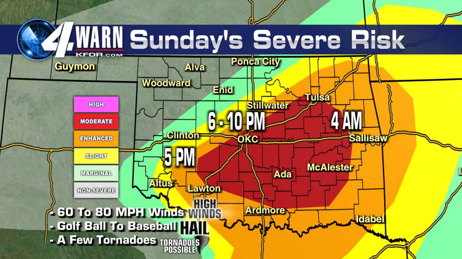
The latest update at 4:15 a.m. noted that strong tornadoes are possible with the ongoing storms. Meteorologist Jonathan Conder also noted that the highest risks for severe storms are anticipated in southeastern Oklahoma after 7 a.m., coinciding with a level 3 enhanced risk from the Storm Prediction Center.
Residents are advised to monitor alerts closely and prepare for severe weather conditions, as the storms are set to move east of Interstate 35 by 6 a.m., impacting eastern and southeastern parts of the state between 8:30 a.m. and 11 a.m.


