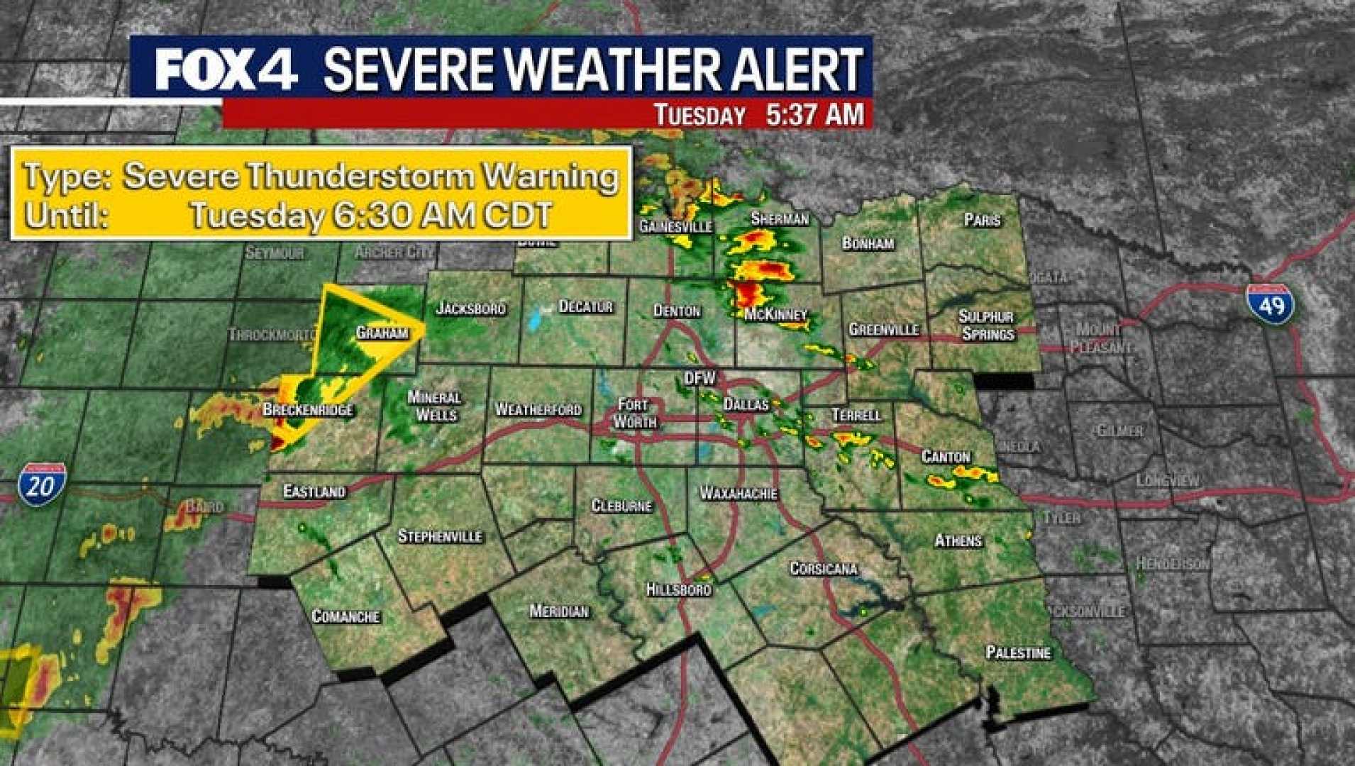
Severe Thunderstorm Warnings Issued in North Texas Areas
Collin County, Texas – The National Weather Service (NWS) has issued several severe weather alerts for North Texas today, including a Severe Thunderstorm Warning for Collin County until 11:45 a.m. The warning comes with expectations of 60 mph wind gusts and quarter-sized hail.
At 10:21 a.m., a Flash Flood Warning was issued for Denton, Johnson, eastern Parker, and Tarrant counties, effective until 1:30 p.m. Soon after, another Flash Flood Warning was activated for Collin, Dallas, Ellis, and Rockwall counties, lasting until 2 p.m. The NWS reported that between 0.5 and 1.5 inches of rain have fallen, causing ongoing or expected flash flooding.
Residents in small creeks, urban areas, highways, and other low-lying regions are urged to stay alert as flooding is anticipated. At 9:53 a.m., a Severe Thunderstorm Watch was expanded to include Dallas, Ellis, Johnson, Somervell, and Tarrant counties until 4 p.m.
This afternoon, the severe weather risk will shift southeast, with the potential for hail, high winds, and even tornadoes. The NWS indicated that a Flood Watch is in effect with 1 to 3 inches of additional rain expected, and some isolated totals could reach up to 4 or 5 inches.
The storms are likely to continue into the early afternoon before easing off later today. Residents are reminded to turn around if they encounter flooded roads.
As conditions may improve later, Wednesday is expected to start with fog or drizzle but will see much lower chances of rain, with some sunshine anticipated in the afternoon. The rest of the week appears to bring drier and sunnier weather.