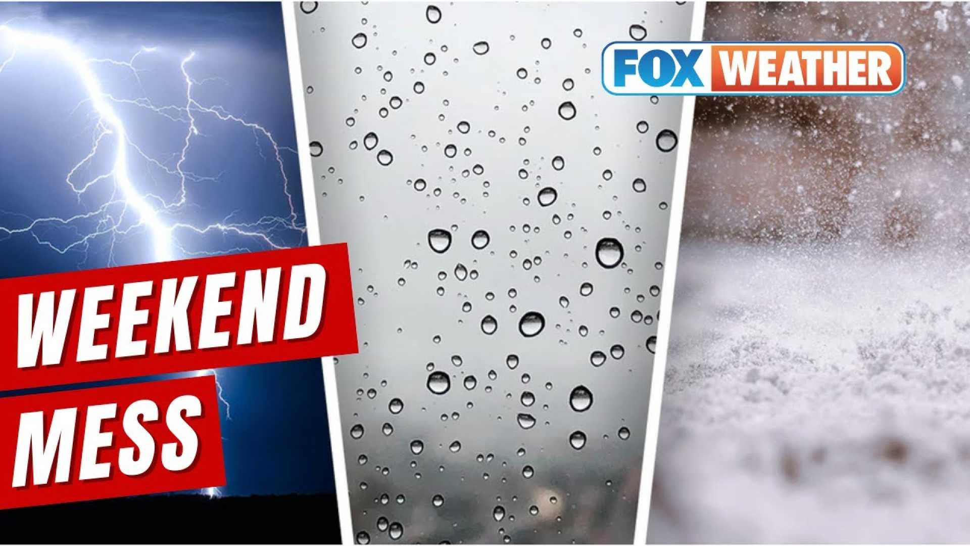
Severe Weather Alerts Issued as Chilly Rain and Ice Loom
JACKSONVILLE, Fla. — Rain is making its way across the Southeast this morning, with First Alert Weather Days declared for several regions experiencing freezing rain and chilly temperatures. A cold front is pushing through the area, prompting warnings for dangerously icy conditions.
Forecasters predict a day of persistent rain across East Texas, which began early this morning. The National Weather Service advises residents to keep umbrellas handy, as drizzle could develop into heavier rain by afternoon. The temperatures are expected to remain in the 40s and 50s throughout the day, providing a stark contrast to the single-digit wind chills expected in the following days.
In Horry County, South Carolina, a Winter Weather Advisory has been issued, effective from 1 p.m. Wednesday until 10 a.m. Thursday. This advisory encompasses several counties, warning of potential freezing rain that may create slippery road conditions. Local authorities stress that commuters should exercise caution, especially during the evening and Thursday morning rush hours.
“Travel will likely be difficult, especially for those in the Pee Dee region and places north towards the North Carolina border,” said a meteorologist from WMBF. “Light icing could create hazardous conditions.”
Temperatures today are anticipated to range from the upper 30s to lower 40s across inland areas, making it vital for residents to remain aware of the forecast for strong winds and low wind chills. By evening, light showers will transition to freezing rain, primarily impacting travel safety.
While the freezing rain is anticipated to have the most significant impact further inland, areas along the Grand Strand may also experience brief periods of freezing rain late tonight as temperatures dip near freezing. Light glazing on untreated surfaces is possible, warranting caution for evening travelers.
Across the Southeast, multiple regions are bracing for a colder front moving in on Wednesday and Thursday, with residents waking up to temperature forecasts nearing the freezing point. Meteorologists recommend wrapping up warmly before heading out, as conditions are expected to stay frigid.
“Wednesday and Thursday mornings will see particularly cold wind chills,” warned a meteorologist from KLTV. “Bundling up is a must for everyone.”
Looking ahead, Saturday poses another severe weather threat with a potential drop in temperatures by 30 degrees across several areas. Residents in Mississippi and Louisiana are being urged to prepare for heavy rain and strong thunderstorms as a frontal system approaches on Saturday evening. All severe weather modes—including high winds and possible tornadoes—are on the table for this next storm.
“While we are still a couple of days away, it’s crucial for residents to stay informed and have a plan in place,” stated a forecaster from WTOK. “Saturday’s weather could change rapidly, and safety should always come first.”
Stay updated with local advisories and forecasts as the weather changes throughout the week.