Severe Weather and Flood Watches Impact Baton Rouge and Wichita Areas
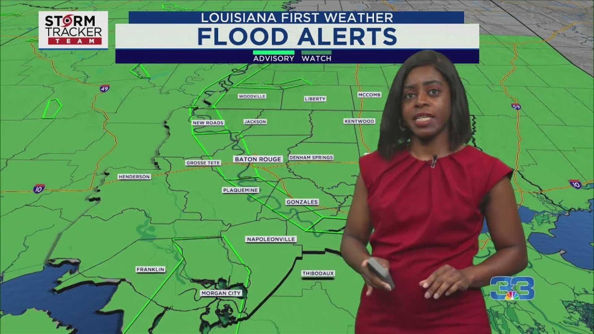
BATON ROUGE, La. — As of early Wednesday, much of the viewing area has received between one to three inches of rain, with more expected throughout the day. A flood watch remains in effect for the region until Thursday evening, as forecasts predict an additional one to four inches of rain.
Today, Baton Rouge will experience an 80% chance of showers and thunderstorms. Some storms may produce heavy downpours, while the severe weather threat is trending lower, now categorized at a level one marginal risk. Flooding continues to be a major concern for residents.
The Weather Prediction Center (WPC) indicates potential rainfall totals could reach another one to four inches, encompassing all rain chances through the weekend. Despite these warnings, there is some promise of drier conditions later in the day.
In contrast, WICHITA, Kan. — Rain is anticipated to persist through Wednesday night, driven by a weather system remaining stationary near the state. Southern Kansas is likely to receive heavier rainfall, while areas north of Interstate 70 should expect less than half an inch. Conversely, southern locations, especially those between Dodge City and Wichita, are projected to receive one inch or more.
The weather remains cool for early May, with daytime highs only reaching the 60s. However, temperatures are expected to climb back to the 70s later in the week following the departure of rain.
Wichita’s forecast shows scattered showers tonight and cloudy conditions with morning showers tomorrow, leading to potential storms in the afternoon. Rain chances will linger into Friday, elevating the risk of heavy rainfall in certain areas.
As the weekend approaches, weather patterns suggest a transition to sunnier conditions, with temperatures gradually warming into the mid to upper 70s.