News
Severe Weather Threat Looms Over Midwest This Weekend
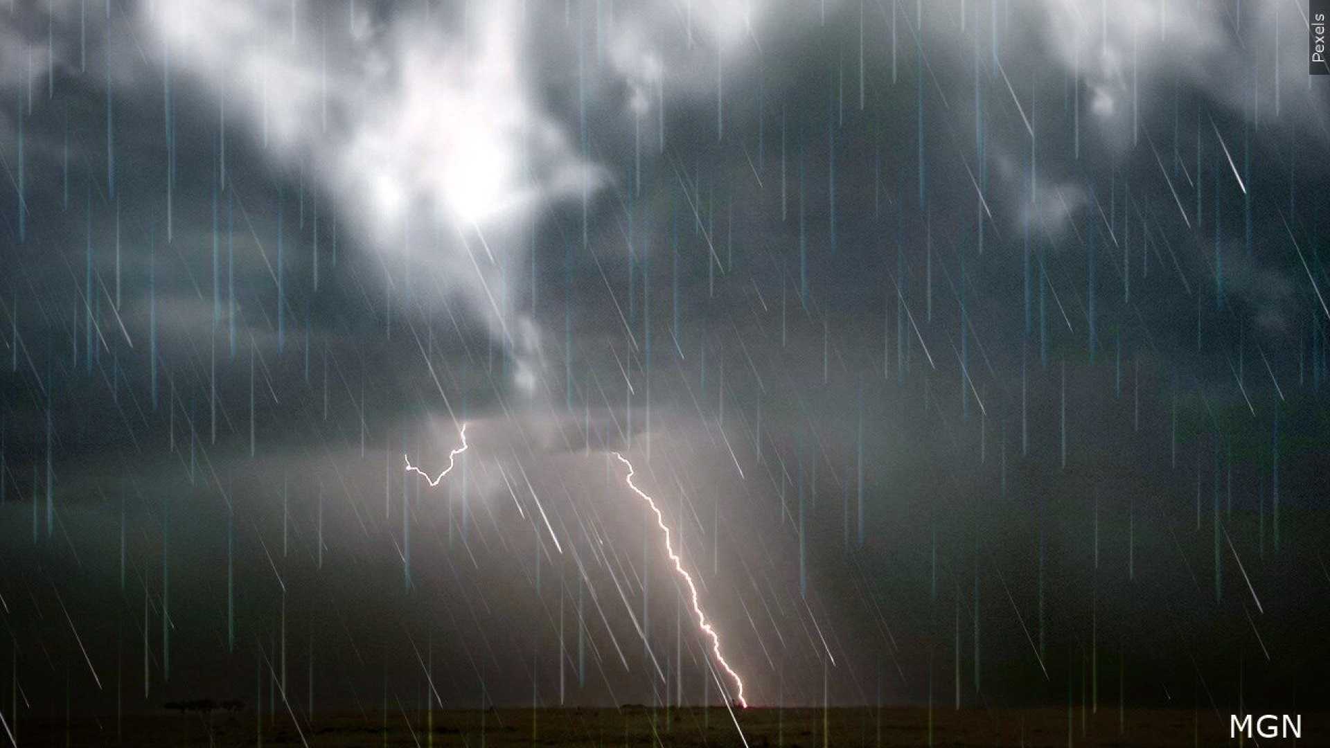
LANSING, Mich. — A powerful storm system is set to impact the Midwest this weekend, potentially bringing severe weather including thunderstorms, strong winds, and the threat of tornadoes across several states.
The National Weather Service (NWS) has forecasted warm temperatures ahead of the front, with highs reaching the low 70s today, Saturday, March 15. Conditions are ripe for scattered thunderstorms, particularly in the late afternoon, followed by a possibility of severe storms overnight.
Wind advisories have been issued for regions across southern Michigan, warning residents of sustained winds from the south at 15 to 25 mph, with gusts potentially hitting 45 mph. “Gusty winds will blow around unsecured objects and could cause tree limbs to fall,” the NWS stated.
As the storm system advances, a marginal risk for severe thunderstorms has been established, particularly impacting parts of the Mississippi and Ohio Valleys. The Storm Prediction Center has rated this risk at a level of 1 out of 5, signaling a need for caution among residents.
“We are monitoring a line of showers and thunderstorms that has formed overnight and will move through the region throughout Sunday morning,” said Bryan, a meteorologist who is part of the 4Warn Weather Team. “Some storms could reach severe thresholds, potentially producing damaging winds and possibly an isolated tornado.”
Further south, the storm system is classified with a higher severity risk, with portions of Alabama and Mississippi facing a High Risk (5 out of 5) for severe weather, including a possible tornado outbreak.
In Michigan, after the initial thunderstorm activity, Sunday is expected to bring cooler temperatures, with highs only in the mid-50s. The chance of rain persists through the afternoon before skies begin to clear overnight, leading to lows dropping to the upper 20s.
Weather observers are also keeping an eye on a second low-pressure system moving through the area midweek, which could bring additional rain showers, and even a few snowflakes as colder air sets in.
The recent shift from winter to warmer temperatures is indicative of the season’s transitional nature, with conditions changing rapidly. The NWS has noted that following the current storm, drier weather is expected to settle in midweek, but residents should stay alert for further updates as the weather unfolds.
Residents are encouraged to secure any outdoor items and monitor emergency weather advisories closely to remain informed of potentially severe conditions.


