Severe Wind Advisory Issued as Storm Hits Western Washington
SEATTLE, Wash. — A severe wind advisory has been issued for western Washington, in effect from noon Monday, February 24, until noon Tuesday, February 25, 2025. The National Weather Service forecasts sustained winds of 20 to 30 mph and gusts as high as 60 mph as a strong low-pressure system sweeps through the region.
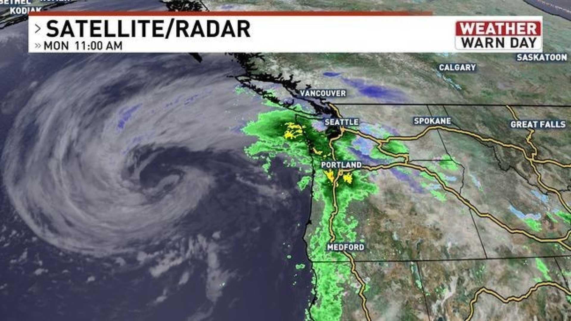
This storm follows a wet weekend, during which Seattle recorded over an inch of rain and parts of the west, including Humptulips, experienced rainfall totals of 4 to 5 inches. Rain is expected to intensify late Monday morning between Olympia and Seattle, spreading north to Everett and Whidbey Island by early afternoon.
According to KOMO News, the weather system is predicted to bring additional rainfall of 1 to 2 inches later on Monday, further saturating the region already susceptible to flooding. The NWS warns of possible minor river flooding and landslides in vulnerable areas, particularly along the Snoqualmie and Tolt rivers.
“The winds will be especially damaging,” said NWS meteorologist George Waldenberger. “We expect trees to be downed and potential power outages across the area.” The most affected locations include Seattle, Tacoma, Bremerton, and Olympia.
As wind speeds increase, the advisory extends to coastal areas such as Neah Bay, Ozette, Aberdeen, and La Push, where gusts could reach 70 mph. Widespread outages are possible, and the NWS has advised residents to prepare emergency kits and check flashlights.
To add to the weather challenges, a Flood Watch is also in effect across much of western Washington due to the likelihood of rising waters in rivers, creeks, and streams. In mountainous regions, a Winter Storm Warning is issued for elevations above 4,000 feet, where snow accumulations of 12 to 18 inches are forecasted.
The NWS recommends drivers exercise caution in the Cascades, predicting difficult travel conditions due to heavy winds and snowfall. Emergency services are monitoring the situation closely.
“Prepare for hazardous weather,” a statement from the NWS emphasizes. “We advise residents to avoid unnecessary travel and to stay updated on changing forecasts.”
The storm is expected to decrease in intensity late Tuesday, with Wednesday promising a potential respite as temperatures could reach 60 degrees, bringing a long-awaited thaw following the storms.
As this weather system develops, the First Alert Weather Team from KING 5 will keep the community informed on the latest updates, ensuring public safety remains a priority.