News
Strong Winds and Hail Impact Central Florida on May 24, 2025
TAVARES, Florida — Severe weather swept through Central Florida on May 24, 2025, bringing damaging winds, large hail, and heavy rain. A combination of high temperatures in the mid to upper 90s and sea breezes contributed to afternoon storms.
The National Weather Service issued warnings for strong thunderstorms until 8:00 PM. Forecasters indicated that the risk for severe weather, including the possibility of an isolated tornado, would diminish after sunset, as temperatures began to drop.
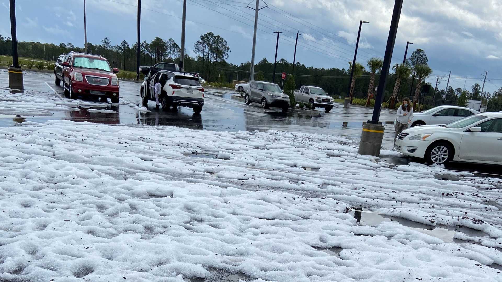
Live radar showed clusters of storms moving across the region, particularly east of the I-4 Corridor. Locations like Winter Haven in Polk County reported the greatest turmoil, with potential storm rotation being monitored. Hailstones measuring up to one inch were reported in some areas, while rain accumulation ranged from one and a half to two inches in other regions.
“The changing weather patterns, combined with high humidity, create the perfect setup for storms this time of year,” said a local meteorologist. “We must remain cautious as the summer heats up, especially through Memorial Day weekend.”
Looking ahead, the forecast predicts a continued chance for thunderstorms throughout the holiday weekend, with a 50% chance of rain on Sunday and up to 60% on Monday. As temperatures rise again, Central Florida can expect more summer storms fueled by the lingering moisture and heat.
Emergency management officials emphasized the importance of preparedness, as unpredictable weather patterns could lead to hazardous conditions, especially for those attending Memorial Day events.
Local residents are advised to stay tuned for weather updates as the situation evolves into the week.


