Tornado Warnings Issued as Severe Storms Threaten Lubbock Area
LUBBOCK, Texas (KCBD) – The National Weather Service has issued a tornado warning for Lubbock County, including the City of Lubbock, effective until further notice. This warning comes amidst severe weather conditions affecting the region.
As of 6:56 p.m., a confirmed tornado was reported moving just north of Morton, traveling east-southeast at 20 mph. Earlier, at 6:28 p.m., a new warning was also issued for Hockley County, as storms in the area have a history of producing large tornadoes and hail up to the size of softballs.
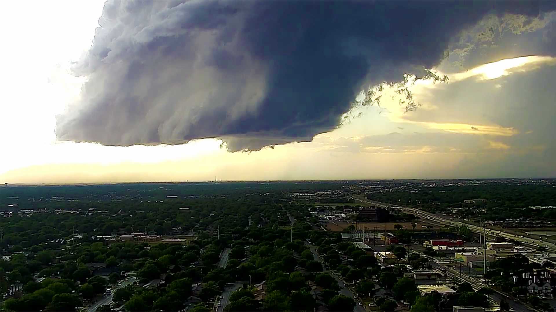
The Storm Prediction Center has issued a tornado watch for Lubbock, the South Plains, and Rolling Plains, including parts of the Permian Basin and Eastern New Mexico, in effect until 10 p.m. CT. The watch indicates potential severe weather, especially tornadoes, large hail, and damaging winds.
Forecasters say the primary risks today include several likely tornadoes, possible intense tornadoes, scattered large hail with possible diameters up to four inches, and damaging winds gusting as high as 80 mph. The storms are predicted to develop through mid-afternoon, particularly over the western South Plains and Eastern New Mexico, then spread eastward into the evening.
Conditions are ripe for severe weather, with high humidity levels and sufficient atmospheric instability aligning to foster severe storm development. Model predictions show storms forming near an outflow boundary, which increases the likelihood of storm rotation.
Looking ahead, residents can expect another round of severe weather tomorrow, prompting a First Alert Weather Day, as severe storm conditions could persist into the weekend.
With numerous severe weather warnings in effect, the public is urged to stay informed and prepared for potentially dangerous conditions throughout the evening.