Tornado Watch Issued as Severe Storms Threaten Alabama Sunday
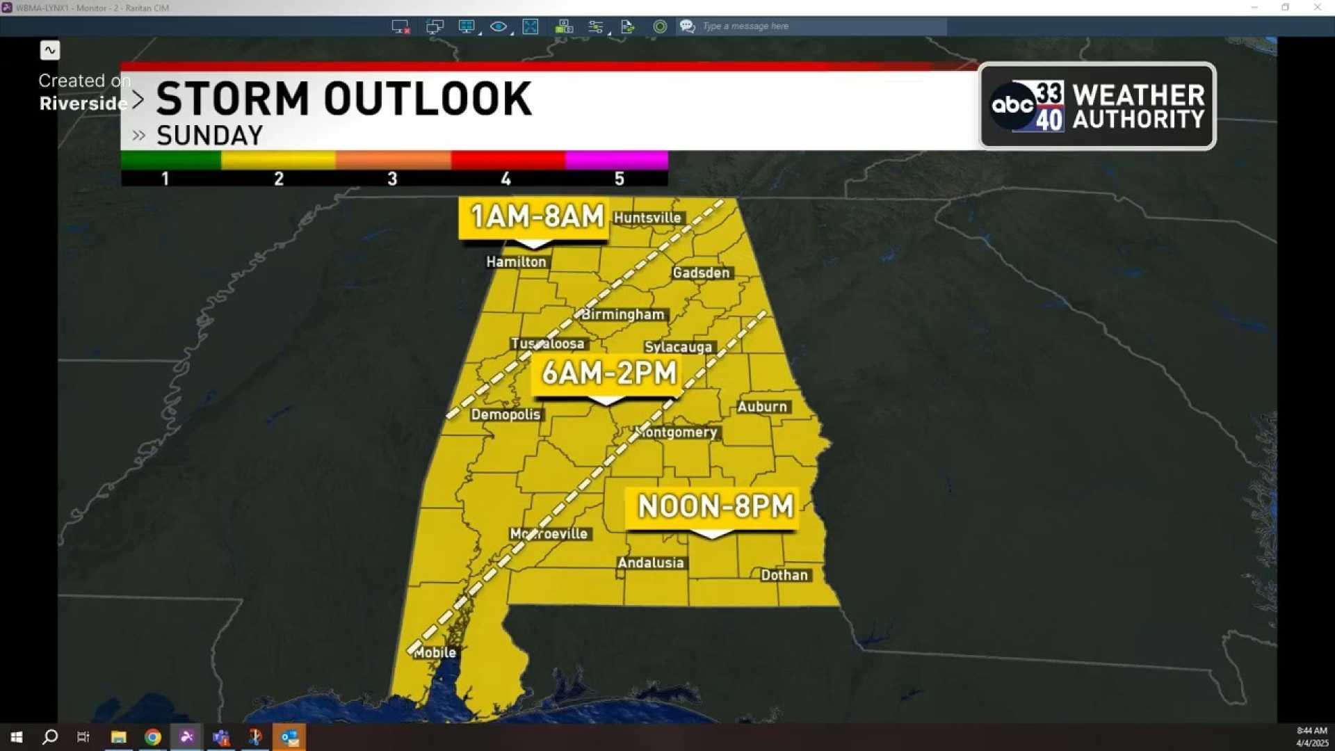
Montgomery, Alabama – A line of strong storms is expected to sweep through Alabama on Sunday, bringing risks of tornadoes and flash flooding. The National Weather Service (NWS) has issued a Tornado Watch for multiple counties, effective until 10 a.m. CDT.
The storms began developing shortly after midnight, with heavy rainfall reported across the state. Some areas north of Interstate 20 are already experiencing light to moderate rain, while the radar indicates heavier thunderstorms to the south. Despite the severe conditions, no severe thunderstorm warnings have been issued as of the latest reports.
As of Sunday morning, areas such as Bessemer, Hoover, and Leeds are seeing significant rainfall. “The atmosphere is currently stable north of I-20, but we do have some warm, unstable air lingering to the south,” said a local meteorologist. “That raises the risk of severe storms primarily in those southern counties, but the threat remains limited.”
The NWS has confirmed ongoing flash flood warnings, particularly as forecasts predict rainfall amounts of 2-5 inches across various regions. “Some areas in Lamar and Fayette counties have already reported over seven inches of rain,” the meteorologist added.
Residents in flood-prone areas are urged to exercise caution as they venture out on Sunday. The NWS warns that driving through flooded roadways can be hazardous. With heavy rain expected throughout the day and into the evening, those in affected areas should remain alert.
Looking further ahead, temperatures are expected to drop significantly following the storms, with Monday daytime highs projected to stay in the upper 40s to low 50s. By Tuesday, conditions will transition to cooler weather with a chance of frost overnight.
“April can often bring unexpected cold snaps, and it seems we are headed for one,” the meteorologist concluded. “After today’s storms, even the higher elevations could see scattered frost by Wednesday morning. Be prepared for a drastic change in weather.
Viewers can stay updated on the latest forecasts and alerts through local news outlets and weather apps. WVTM 13 News will provide continuous coverage on the situation as it develops throughout the day.