Winter Storm Set to Impact Carolinas, Travel Disruptions Expected
CHARLOTTE, N.C. — A winter storm is expected to sweep through the Carolinas from Wednesday morning through Thursday, bringing a mix of snow and sleet that will likely disrupt travel across the region. The storm is forecasted to begin with moisture in the mountains early on Wednesday before spreading into the Piedmont later that morning.
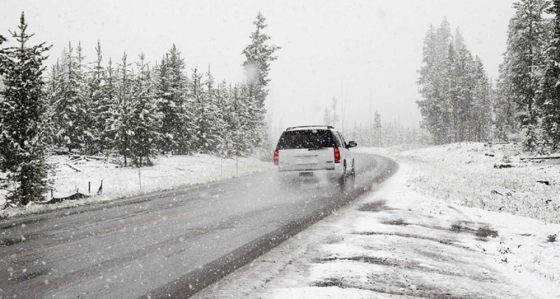
The North Carolina Department of Transportation (NCDOT) is advising commuters to prepare for reduced visibility and slick road conditions, particularly on bridges and overpasses. As temperatures drop, any moisture left on the ground may freeze, creating hazardous travel conditions.
A Winter Weather Advisory will be in effect from 6 a.m. Wednesday until noon Thursday for several counties, including Mecklenburg and Cabarrus. Up to 2 inches of snow and sleet accumulation, as well as a light glaze of ice, are expected in the Piedmont region.
“The roads will become slick as the storm moves in, especially during the Wednesday evening commute,” said Meteorologist Brian Stoaks of WXII 12 News. “We encourage everyone to stay off the roads if possible.”
For the mountains, snowfall totals could range from 2 to 4 inches, with anticipated wind gusts reaching 35 mph. Areas south and east of Charlotte may experience more rain mixed with winter precipitation, limiting snow accumulations.
The storm will advance eastward on Wednesday, with weather models predicting that the low-pressure system will move off the Carolina coast by Thursday morning. Despite the current predictions, forecasters note that there still exists uncertainty in the snow and ice totals due to varying moisture levels in the atmosphere.
“Dry air could affect snowfall amounts, and if temperatures remain above freezing, we could see less accumulation,” Stoaks added.
Reports indicate that travel conditions will worsen throughout the day, with snowfall intensity increasing by midday and expected to taper off by Wednesday evening in most areas. However, communities in the eastern part of North Carolina could see additional precipitation extending into Thursday morning.
Local weather authorities are urging residents to plan ahead and monitor updates if they need to travel. Cold air is projected to persist throughout the week, likely leading to icy patches on the roads as melting snow refreezes overnight.
With an eye on the state’s safety, NCDOT crews are pre-treating roads and monitoring conditions in anticipation of the storm.
The winter storm is expected to culminate with bitter cold temperatures and potentially flash freeze situations on wet areas, creating added challenges for drivers.