Winter Storm Warning Issued as Heavy Snow Covers Michigan
LANSING, Mich. — A powerful winter storm is expected to blanket much of Michigan with significant snowfall this weekend, prompting the National Weather Service (NWS) to issue a Winter Storm Warning for several areas.
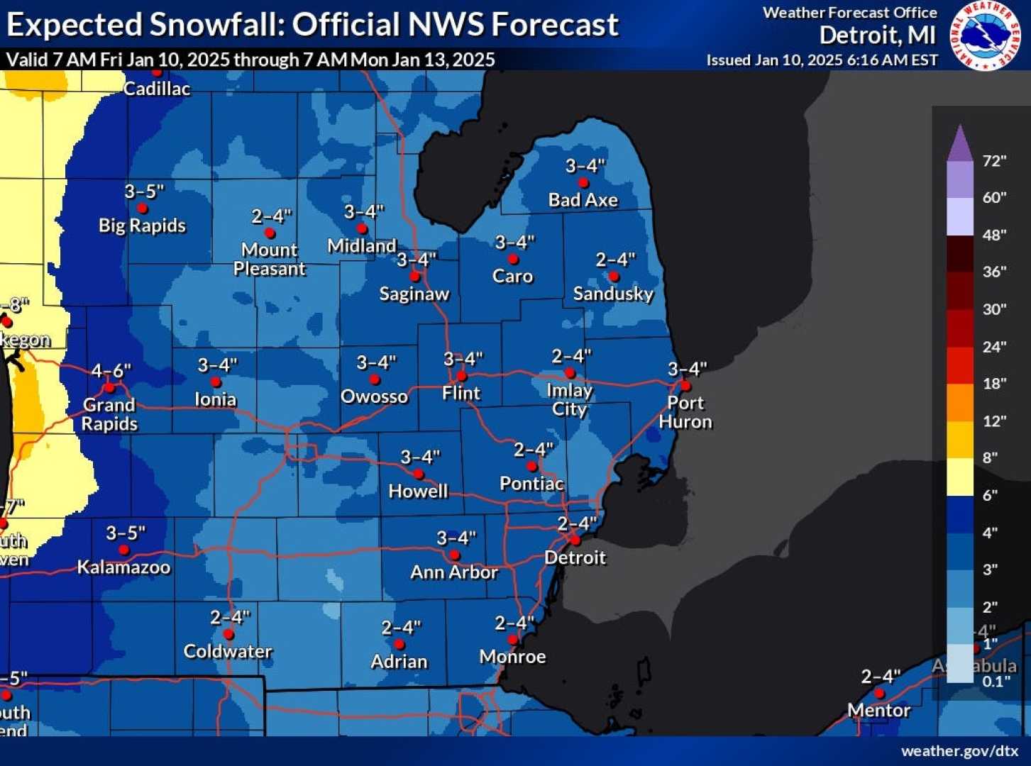
The storm is anticipated to deliver between 4 to 8 inches of snow across the warning zone and 3 to 6 inches in the advisories, adding to the 1 to 3 inches already received Saturday morning. Meteorologists expect a total accumulation of 5 to 8 inches by Sunday evening, creating hazardous travel conditions.
“Blowing and drifting snow will be a concern as strong wind gusts of 30 to 35 miles per hour are predicted,” said Bryan, a meteorologist with the 4Warn Weather Team. “Motorists should prepare for snow-covered roads and reduce speeds.”
The NWS indicated the onset of snowfall would begin Saturday night, intensifying as an area of low pressure strengthens over the Ohio Valley. Snowfall is expected to persist into Sunday afternoon before tapering off in the evening.
“The heaviest snow will likely fall especially along and north of Interstate 96,” Bryan added. “Snow will remain light overnight into Monday, but temperatures will plummet.”
Looking ahead to early next week, an arctic blast is forecasted to sweep through Michigan, bringing high temperatures in the teens and wind chill values dropping well below zero. Monday night’s wind chills could reach extreme lows around minus 10, prompting advisories from local authorities.
In southwest Michigan, anticipation is building for another wave of snow, with forecasted totals reaching up to 9 inches on Wednesday and Thursday. “Confidence is increasing for a significant winter system across Southeast Michigan late Wednesday to early Thursday,” the NWS warned. “Travel impacts will be likely.”
The storm system is predicted to move from southwest Michigan toward the Thumb, gradually weakening but still posing a risk for commuters during the Wednesday evening and Thursday morning rush hours. Areas such as Benton Harbor could see heavy snowfall, with high temperatures lingering in the 20s.
Moreover, residents in the Detroit and Ann Arbor areas are expected to receive less than an inch of snow, while snow showers are forecasted to begin around 1 p.m. Wednesday, ramping up into the evening.
As a follow-up warning, the NWS encourages local residents to exercise caution while traveling during severe weather conditions. “Conditions will be hazardous, especially during peak snowfall hours,” officials advised.
The previous winter weather patterns are suspected to recur, leading to additional snow accumulation in the northern Lower Peninsula and the Upper Peninsula, with lake-effect snow impacting areas downwind from Lake Michigan.
In anticipation of the impending weather, Michiganders are urged to stay informed through regular updates provided by local weather services.