News
Cold Temperatures and Light Snow Expected Across Indiana This December
INDIANAPOLIS — December brings an active weather pattern to Indiana, with light snow and well-below-average temperatures. As snowfall reports came in, areas in northwest Indiana experienced higher totals, while southeast regions saw less accumulation.
The dry air around the Indianapolis metro area contributed to a sharp snowfall cutoff from northwest to southeast. Temperatures reached 38 degrees overnight, causing some melting and compaction of snow, resulting in lower totals reported this morning. This temperature recorded will be noted as the day’s high, as colder air follows.
Current temperatures have dropped into the 20s across central Indiana, with wind gusts exceeding 30-40 mph making it feel much colder, closer to the teens. Wind chills will persist today, with temperatures remaining steady in the 20s and wind gusts expected to decrease by evening. Travelers are advised to exercise caution due to the potential for black ice on roads.
Skies will be mostly cloudy with a chance of stray snow showers, particularly in the far northern parts of the state. No significant snow accumulation is expected. Tonight will remain cold, with lows around 20 degrees and wind chills in the low teens.
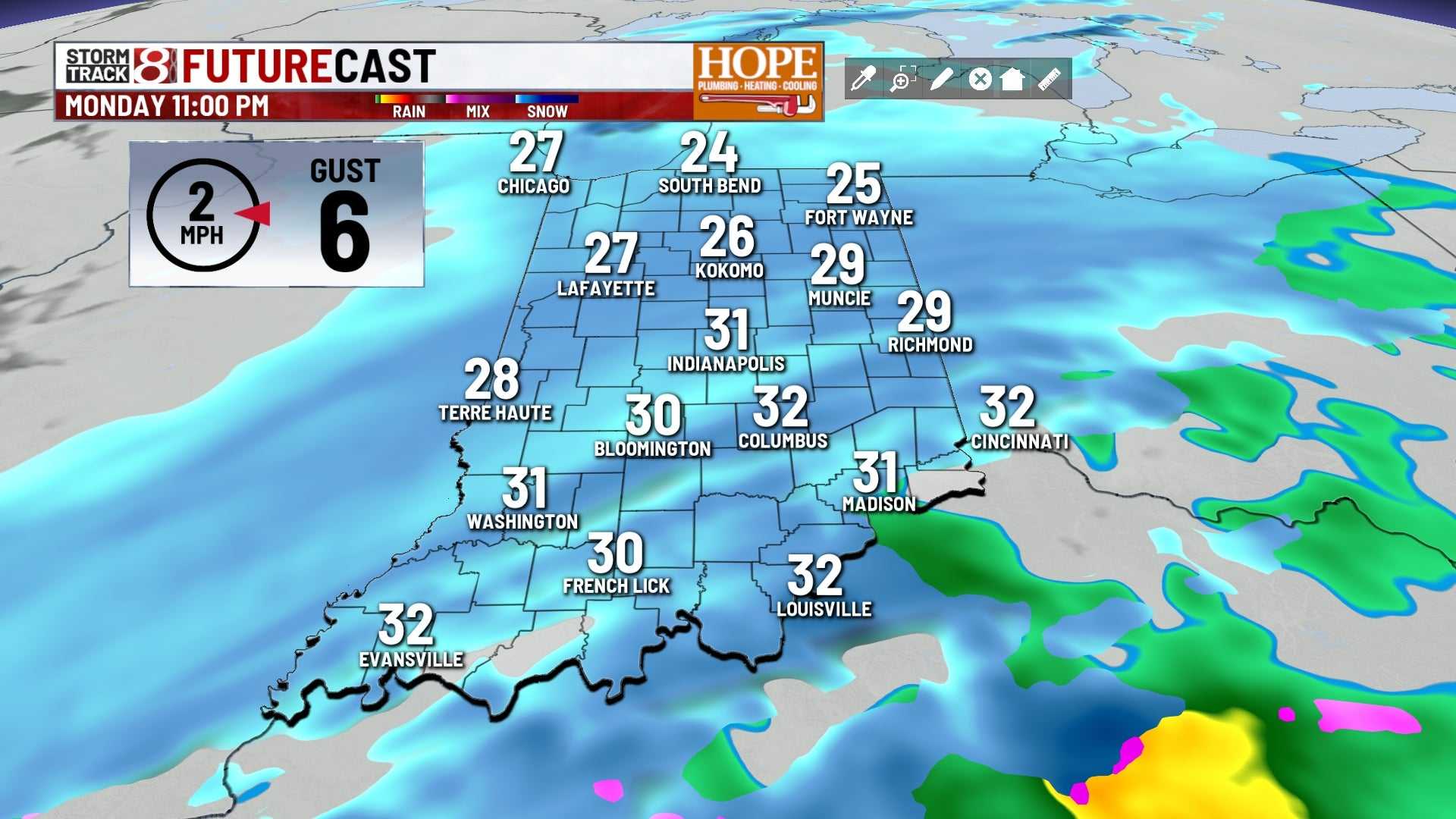
The first day of December is marked by unseasonably cold weather, with typical highs around 46 degrees, while the forecast suggests temperatures will hover near the freezing mark on Monday afternoon.
A new weather system is projected to bring scattered snow showers starting around 5 p.m. on Monday, continuing into early Tuesday morning. Areas around Indianapolis could see 1 to 2 inches of snow, potentially creating slick travel conditions.
Another quick burst of snow could occur late Wednesday night as a cold front moves through, dropping temperatures into the 20s. Overall, this weather pattern reflects typical mid-winter conditions rather than late fall.


