Cold Front Brings Rain and Thunderstorms to Colorado This Weekend
COLORADO SPRINGS, Colo. — A cold front is set to sweep through Colorado from Friday evening into early Saturday morning, bringing a cooling trend and increased chances for rain across the state.
Tonight’s forecast indicates mostly clear and mild conditions, with overnight temperatures expected to be 3 to 5 degrees above average.
The most significant changes will occur on Friday, when the front will enter southern Colorado. It is expected to pass through the Pikes Peak region and areas north of Highway 50 by late afternoon, moving southward and clearing the state by Saturday morning.
This frontal system will likely enhance thunderstorm development, particularly in the mountains and the Pikes Peak area, as well as in the plains north of Highway 50. Rainfall may be accompanied by hail, gusty winds, heavy rain, and lightning.
The forecast for Colorado Springs predicts a low of 61 degrees and a high of 87 degrees, with a partly cloudy sky and a chance of strong thunderstorms in the afternoon and evening.
In Pueblo, residents can expect a low of 61 and a high of 95 degrees. The day will start mostly sunny, with cloud cover increasing and a potential for spotty thunderstorms by evening.
In Canon City, Friday’s weather hints at a low of 65 and a high of 92, with afternoon thunderstorms expected to offer some cooling relief.
Woodland Park will have a low of 52 and a high of 76, with likely afternoon and evening thunderstorms that may produce hail and heavy rain.
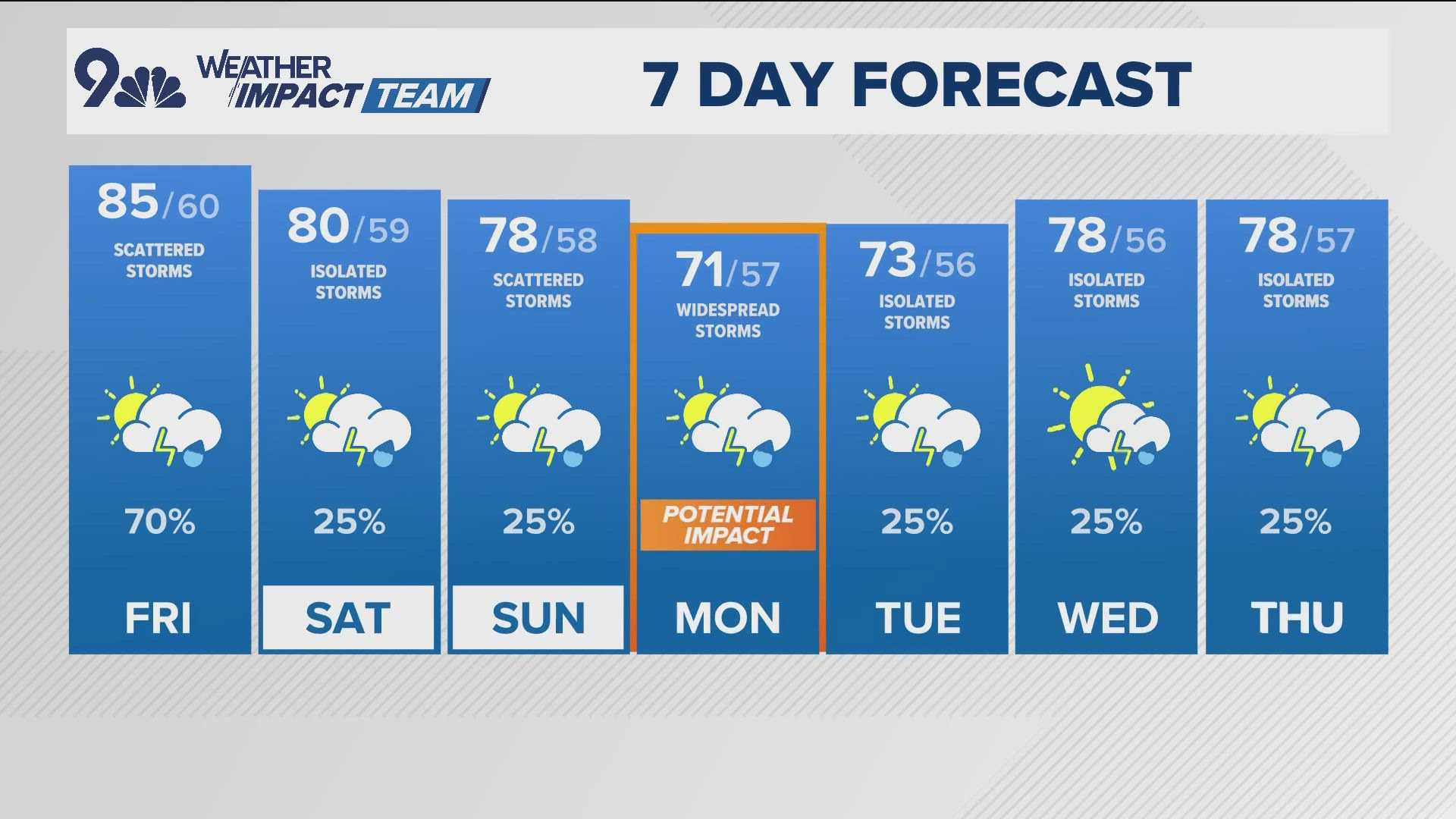
Next week looks to be significantly cooler than average, with highs generally in the 60s and 70s. Rain is likely on Monday and Tuesday, with concerns over potential flooding due to extended rainfall. Residents are advised to refrain from driving through flooded areas.
As thunderstorm activity ramps up, if you hear thunder, take it as a cue to stay inside.