News
Red Flag Warning Issued as Houston Faces Increased Wildfire Risks
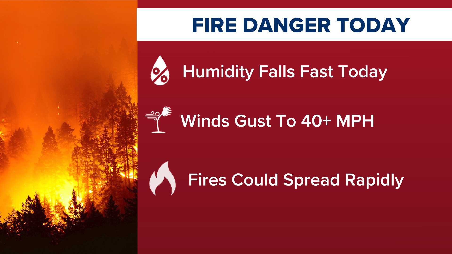
HOUSTON, Texas — The National Weather Service issued a red flag warning for Harris County on Tuesday, signaling elevated wildfire risks due to favorable conditions. The warning, upgraded from a fire weather watch overnight, affects areas along and west of Interstate 45 and is set to remain in effect until early evening.
Weather conditions contributing to the warning include predicted wind gusts up to 45 miles per hour and relative humidity levels between 15% and 25%. Meteorologist Cameron Batiste commented on the low likelihood of widespread severe weather, stating, “It’s likely just going to be some very isolated instances if anything, but chances are much higher towards the northeast of the Houston area.”
The forecast indicates the possibility of strong storms in addition to wildfire risks, with the potential for damaging wind gusts, hail, and isolated tornadoes particularly affecting areas east and northeast of Houston. According to the National Weather Service, there is a slight risk of severe weather across the Houston metro area and a marginal risk along the I-45 corridor.
The red flag warning is effective from 10 a.m. to 7 p.m. for specified areas and continuing until 6 p.m. across Southeast Texas. Residents are advised to prepare for possible sporadic power outages if high winds occur. Consequently, the weather service recommends avoiding open flames, keeping vehicles off dry grass, and safely discarding cigarettes.
In addition, a coastal flood advisory is currently in effect during each high tide cycle through Tuesday evening at 9 p.m., further complicating weather concerns.


