Severe Storm Risk Looms as Warm Front Advances Through Indiana

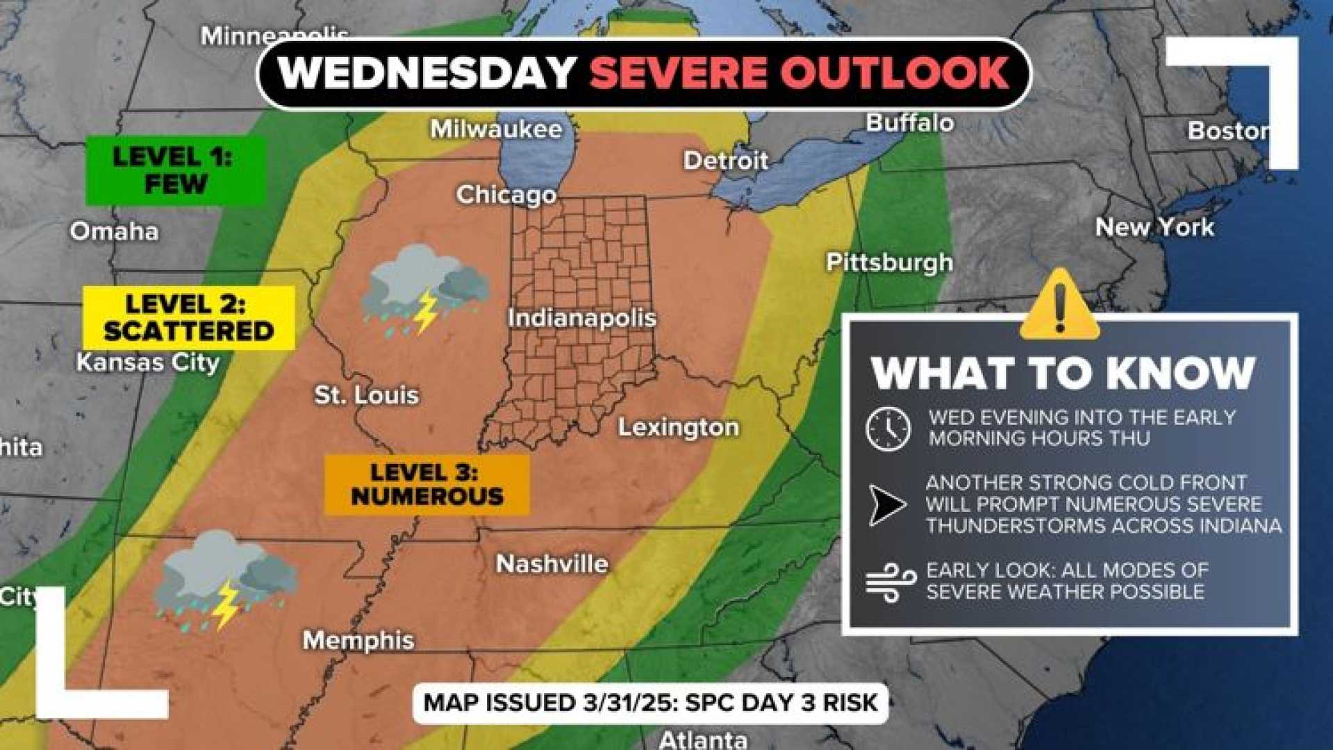
INDIANAPOLIS, Ind. — A surge of warm and moist air is set to increase the risk of severe storms in Indiana as a cold front approaches overnight Friday into Saturday morning. The National Weather Service has issued guidance indicating potential severe weather across parts of the state.
Initial predictions suggest temperatures during Friday could reach a high near 80 degrees Fahrenheit, drawing moisture from the Gulf of Mexico. This increase in humidity combined with daytime heating could prime the atmosphere for thunderstorm development. Morning temperatures are expected to start in the low 40s, gradually warming as the day progresses.
According to meteorologists, the warm front will introduce increased cloud cover and possible light showers in the late morning through the afternoon hours. However, the main concern lies with the incoming cold front that is expected to sweep through Indiana Friday night, bringing with it the potential for strong to severe storms.
The front’s stall over the Ohio River region may cause repeated rounds of rain throughout Saturday and into Sunday, creating a pathway that could lead to excessive rainfall and localized flooding. Models predict that central Indiana could receive between 2 to 4 inches of rainfall by Sunday evening, which poses a risk to waterways and low-lying areas already experiencing saturation.
Matt Standridge, a meteorologist with 13News, emphasized, “The exact location of where the front stalls remains uncertain, but we’re closely monitoring areas that could be impacted significantly in the coming days.”
While the forecast includes opportunities for scattered showers and thunderstorms leading into the Easter weekend, the potential for severe weather is low until the cold front arrives. After a particularly active start to April that saw tornadoes and flooding across Indiana, the past few weeks have calmed, but that tranquility may soon be disrupted.
Looking ahead, the dynamics of the jet stream are expected to shift, which could support a greater chance for severe thunderstorms, particularly on Good Friday. By Thursday, forecasters anticipate a more chaotic jet stream pattern, enhancing the risk for storm development by Friday evening.
“Weather patterns can change rapidly, and we need to stay vigilant about monitoring the forecast, especially if you have travel plans in or around the Easter holiday,” warned Standridge.
