Severe Storms Expected in Colorado with Flooding Risks
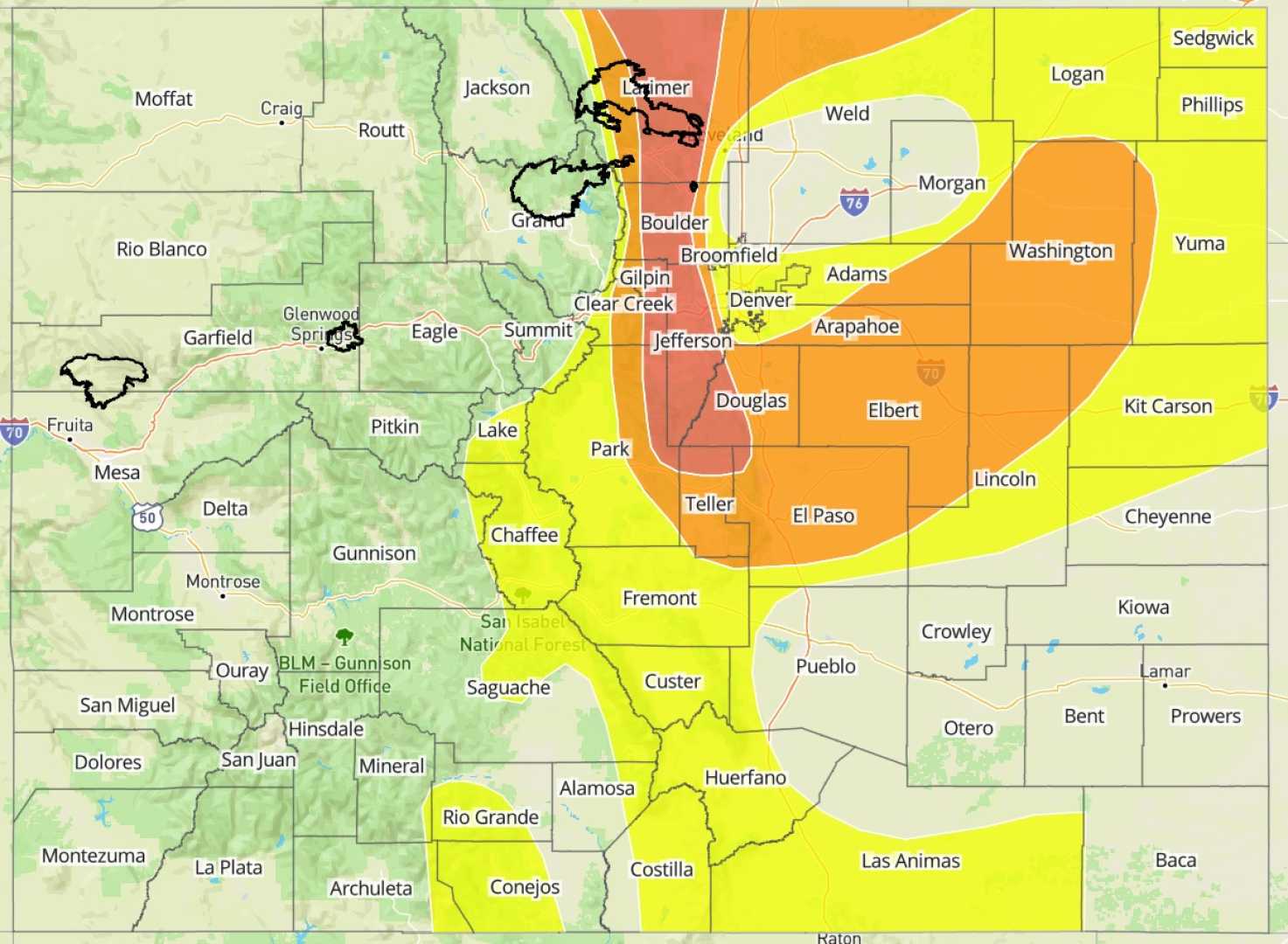
COLORADO SPRINGS, Colorado — A monsoon weather pattern is set to impact Southern Colorado on Friday, August 1, 2025, bringing the likelihood of strong storms across the region. The combination of sub-tropical moisture and atmospheric energy will contribute to the development of thunderstorms, particularly in the mountains.
According to the National Weather Service, storms are expected to begin in the afternoon, around 2 to 3 p.m., and will continue into the evening. Heavy rainfall, gusty winds, frequent lightning, and hail are all possible as storms move eastward.
While forecasters state that severe weather threats will be lower than Wednesday’s storms, flooding remains a significant concern. Many areas have already experienced heavy rain, particularly north of Highway 50, where localized flooding could occur.
The weather conditions reflect a continuation of an active pattern seen throughout the week, which has already produced intense thunderstorms and heavy rainfall. Colorado Springs is forecasted to have a high of 78 degrees and a low of 55 degrees, while Pueblo may reach a high of 85 degrees with a low of 58 degrees today.
As the storms roll through, residents are urged to stay alert and monitor local forecasts, especially those in vulnerable areas. The threat of flooding could impact outdoor activities and travel conditions later in the day.
Looking ahead, meteorologists predict that storms will taper off overnight as drier air is expected to move into the area, leading to a cooler weekend with highs in the low 80s.
For the latest weather updates and information, local residents can download the WPDE Weather Authority app from their app store.