News
Severe Thunderstorm Watch Issued for Parts of the U.S.: Here’s What You Need to Know

A Severe Thunderstorm Watch has been issued for various regions across the United States, indicating favorable conditions for severe thunderstorms. This alert is crucial for residents in the affected areas, as it signifies the potential for severe weather that could include heavy rainfall, strong winds, and possibly tornadoes.
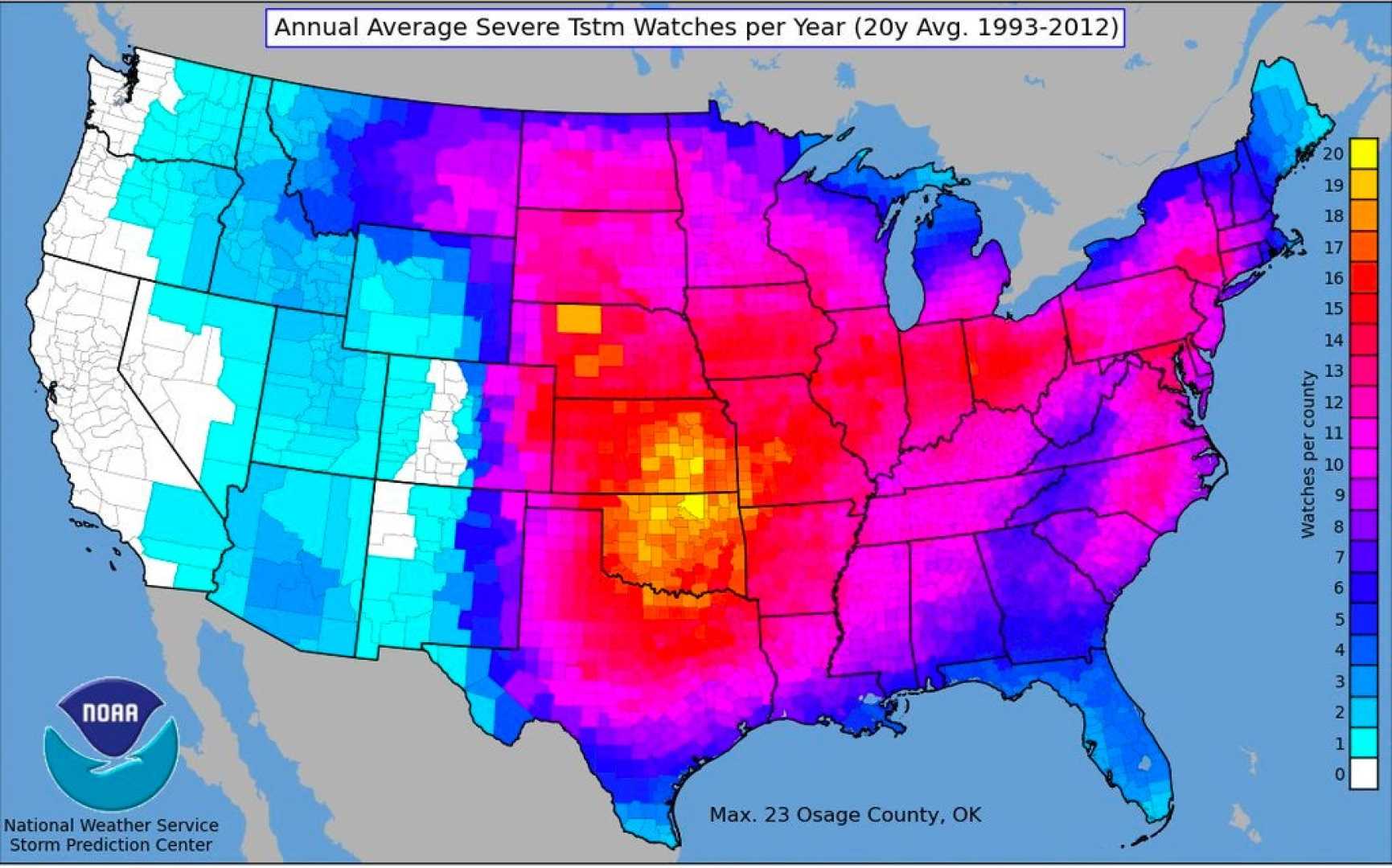
According to the Storm Prediction Center (SPC), a Severe Thunderstorm Watch means that the atmospheric conditions are conducive to the development of severe thunderstorms in and close to the watch area. Individuals in these regions are advised to remain vigilant and prepared for any severe weather that may arise.
The watch areas typically include several states, with the specific regions being updated regularly based on the latest weather forecasts. For instance, recent weather patterns have shown a complex of thunderstorms moving across various parts of the country, bringing heavy rainfall and strong winds. This is particularly relevant as a powerful Pacific system moves inland, affecting the central and western United States with accumulating snow and increased winds.
Residents are encouraged to stay informed through local weather reports and alerts. The National Weather Service (NWS) and the SPC provide regular updates and detailed forecasts to help the public prepare for and respond to severe weather events. It is essential to have a plan in place, including knowing the safest routes and shelters, in case severe weather develops.
In addition to the Severe Thunderstorm Watch, other weather alerts such as Flood Watches and Fire Weather Outlooks may also be in effect, depending on the specific weather conditions in different areas. These alerts highlight the importance of staying aware of the latest weather updates to ensure public safety).


