News
Severe Weather Alerts Issued Across Tennessee and Kentucky As Storms Approach
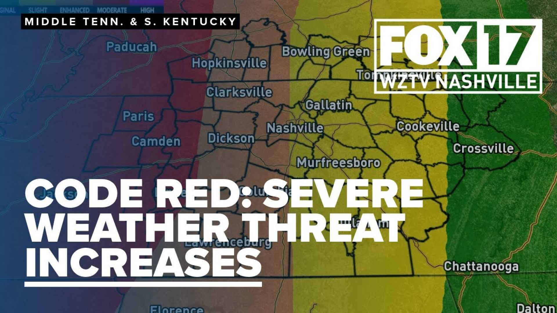
NASHVILLE, Tenn. (WSMV) – A First Alert Weather Day is in effect for late tonight, with expectations of severe thunderstorms across Tennessee and Kentucky. Storms are anticipated to develop this evening, bringing the potential for damaging wind gusts, hail, and even isolated tornadoes.
The severe weather threat will impact several counties, with significant alerts issued for Nashville, Gallatin, Franklin, and surrounding areas from 10 p.m. Sunday through 4 a.m. Monday. According to meteorologists, a tornado has already been confirmed in McEwen, Humphreys County.
As the evening progresses, tornado warnings have been activated for parts of Dickson County and Madison County until 11 p.m. Additional severe thunderstorm warnings are in place for areas including Humphreys, Hickman, and Perry Counties until late in the evening.
The weather situation is dynamic, with updates indicating cancellations of some tornado watches while new warnings are being issued across the region. The National Weather Service emphasizes the importance of having multiple ways to receive emergency alerts as conditions evolve.
Weather experts predict that the storms will advance into southern Middle Tennessee late tonight, creating a time window for severe threats from 11 p.m. to 5 a.m. Rainfall could cause poor visibility and minor flooding in low-lying areas.
Looking ahead, another First Alert Weather Day is anticipated for Wednesday, with forecasts indicating the likelihood of more severe thunderstorms. The upcoming system could bring damaging wind gusts and hail, following another round of activity late in the week. Meteorologists are urging residents to stay alert and prepared for rapidly changing conditions.


