News
Severe Weather Threats Linger as Tornado Warnings Expire
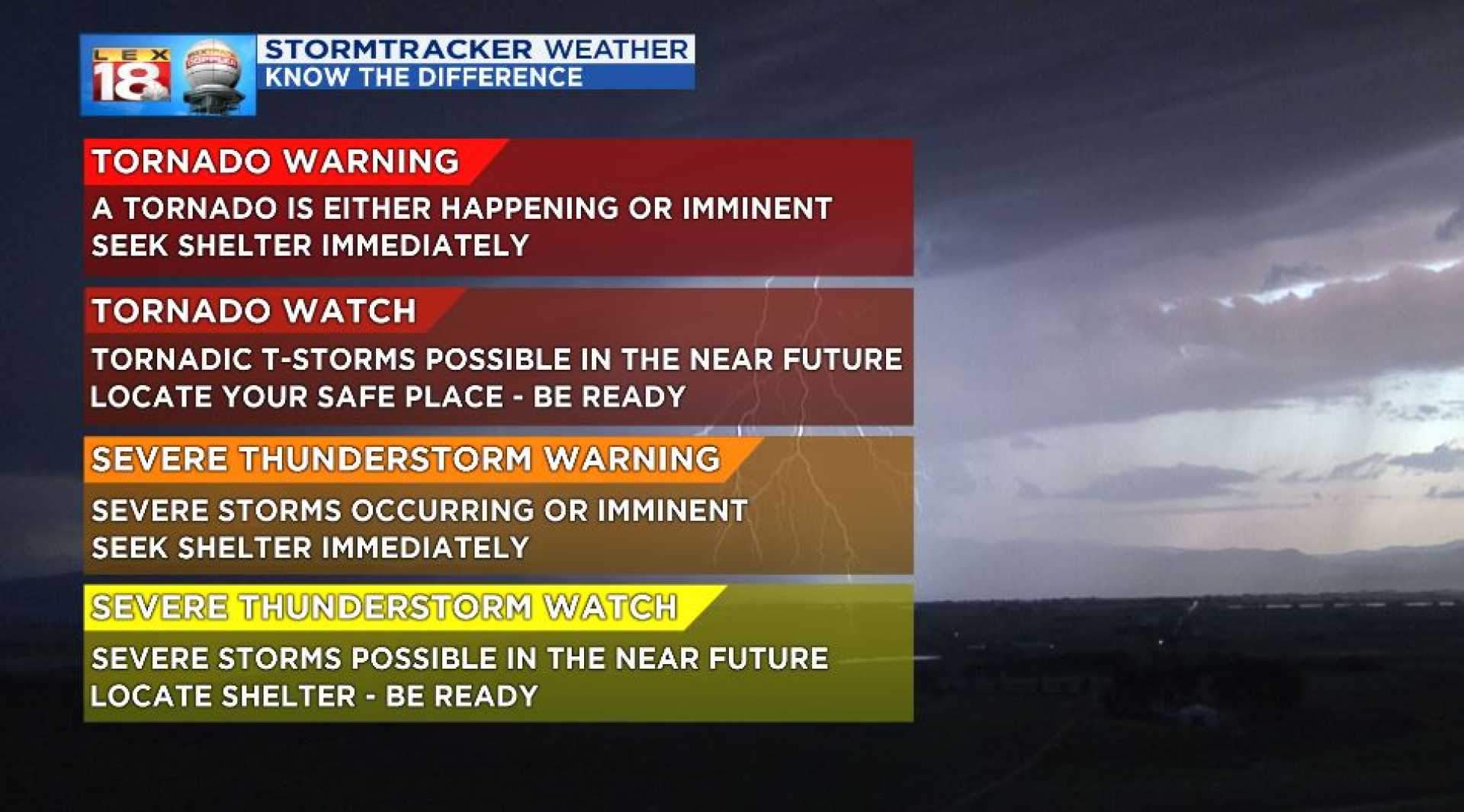
LOUISVILLE, Ky. — All active Tornado Warnings in the WLKY viewing area have expired, yet a Tornado Watch remains in effect until 1 a.m. for Louisville and adjacent counties following a series of severe storms that swept through the region Sunday evening.
At 10:37 p.m., Meade County RECC reported that approximately 5,600 residents are without power across its service area, which includes Meade, Breckinridge, and Hardin counties. Restoration crews are working to reestablish electricity, and residents have been advised to avoid downed power lines.
As Chief Meteorologist Jay Cardosi elaborated, the severe weather peaked in intensity earlier in the evening, resulting in numerous damage reports, including hail and downed trees. “It’s been a challenging afternoon and evening for many in our viewing area,” Cardosi said. “While the immediate threat has passed for the metro area, we still see ongoing storm activity across southern Kentucky, particularly in Hart County, where a Severe Thunderstorm Warning is currently in effect.”
Earlier warnings covered a broad swath of the viewing area, leading to significant public concern. Areas around Bardstown, Shepherdsville, and parts of northern Bullitt County experienced heightened alerts due to possible tornadoes. As of late Sunday night, the intense storms that moved in earlier began to subside.
While the dynamic threat from tornadoes appears to be lifting, moderate rain continues to fall with potential localized flooding noted across several regions. The Tornado Watch remains in effect, urging residents to stay vigilant as severe weather conditions can still develop.
Reports detailed scattered storms forming across central and southern Indiana, and emergency alerts issued encompass locations such as Elizabethtown and Hodgenville until further notice. Tornado Watches extended into the early hours of Monday across Indiana, Kentucky, and portions of Ohio.
“The most severe aspects of this storm system have been rapidly moving east,” said Cardosi. “However, we continue to see some storm activity, particularly in Hart, Greene, Taylor, and Adair counties. Vigilance is encouraged as the risk for tornadoes will diminish but not entirely dissipate overnight.”
National Weather Service alerts continue to monitor conditions closely. Rainfall amounts could add up to 1 to 3 inches in less than two hours, prompting flood advisories in low-lying areas.
The immediate forecast indicates an expectation of decreasing storm activity after midnight, bringing cooler temperatures for Monday and a return to calmer weather later in the week. However, further comfortable periods will not last long as unsettled conditions are anticipated to return by the end of the week, potentially resulting in additional severe weather.
Residents are urged to remain updated via trusted weather applications and local emergency broadcasts, particularly during severe storm windows. As the WLKY weather team reports, it is critical to stay informed and prepared for rapidly changing weather scenarios as the storm system continues to evolve.


