News
Storms Cause Travel Disruptions as Winter Weather Hits Northern U.S.
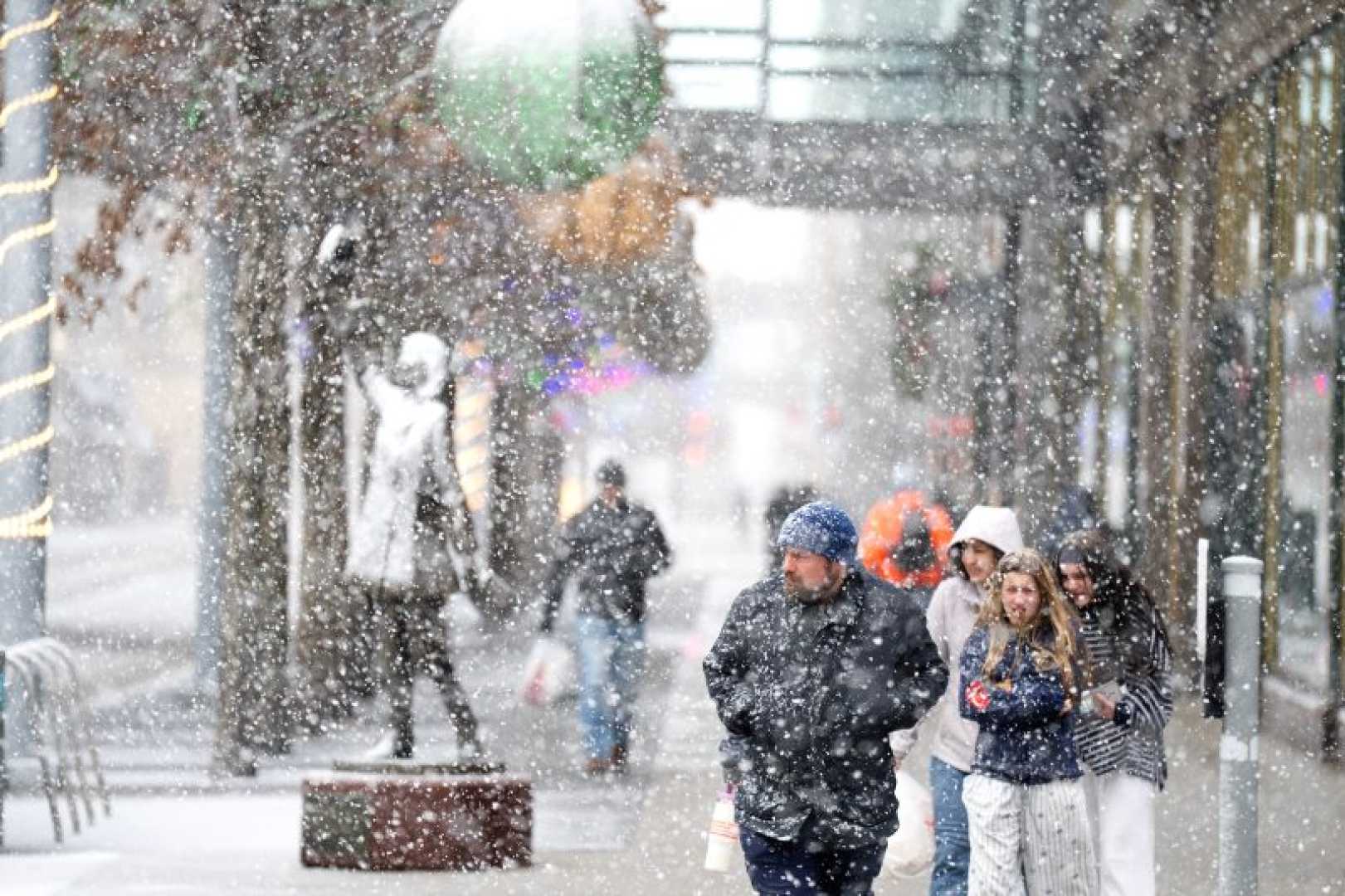
CHICAGO, IL — A winter storm system wreaked havoc on travel across the United States on Sunday, leading to over 3,000 flight cancellations and delays. The storm swept through the Midwest and Great Lakes regions during the busy holiday travel period, arriving on the heels of a weak La Niña that has brought a promising start to the ski season in northern states.
The severe weather developed into a so-called “bomb cyclone,” characterized by rapid intensification when cold air collides with warm air. This resulted in sharp drops in air pressure, winds exceeding 60 mph, and significant snow accumulation. By Sunday morning, approximately 20 million Americans were under wind alerts, a number that increased to over 50 million by late afternoon.
The National Weather Service warned of hazardous travel conditions spanning from the Great Lakes through southern New England. New York City saw 4.3 inches of snow on Saturday, marking the first snowfall greater than four inches in nearly four years, as noted by CBS News meteorologist Matthew DeLucia.
As the storm weakened, forecasters alerted residents of the Midwest and Northeast about the potential for severe blizzard conditions. On Sunday, more than 38.7 million people were issued winter weather advisories, while another 9.6 million were under winter storm warnings. In addition, 2.7 million were facing blizzard warnings.
In Illinois, search and rescue efforts were underway in Mt. Zion following damage from a suspected tornado as officials dealt with multiple tornado warnings across the region. Many areas were expected to experience freezing rain, impacting road conditions further. CBS Philadelphia meteorologist Andrew Kozak mentioned the arctic air from the Great Plains would enhance the winter storm, bringing heavier snowfall and blustery weather.
A winter storm warning has been issued for parts of Michigan, Minnesota, Wisconsin, and New York, where officials expect significant snow accumulation in the coming days. The winter weather system is predicted to impact driving conditions from Friday into Saturday, with up to 2 inches of snow an hour possible at peak times.
Cold temperatures are also expected to continue through the week, making for a challenging New Year’s transition. As the storm moves, areas in the upper Great Lakes may see up to two feet of snow, with blizzard conditions affecting travel. With another cold front expected in the Northeast, it could create conditions for flurries during New Year’s celebrations, although no significant accumulation is anticipated.
This winter weather disruption is likely to heavily impact post-Christmas travel, with state officials urging residents to remain updated on advisories and to exercise caution on the roads.


