News
Stormy Weather Could Disrupt Fourth of July Festivities in Southeast
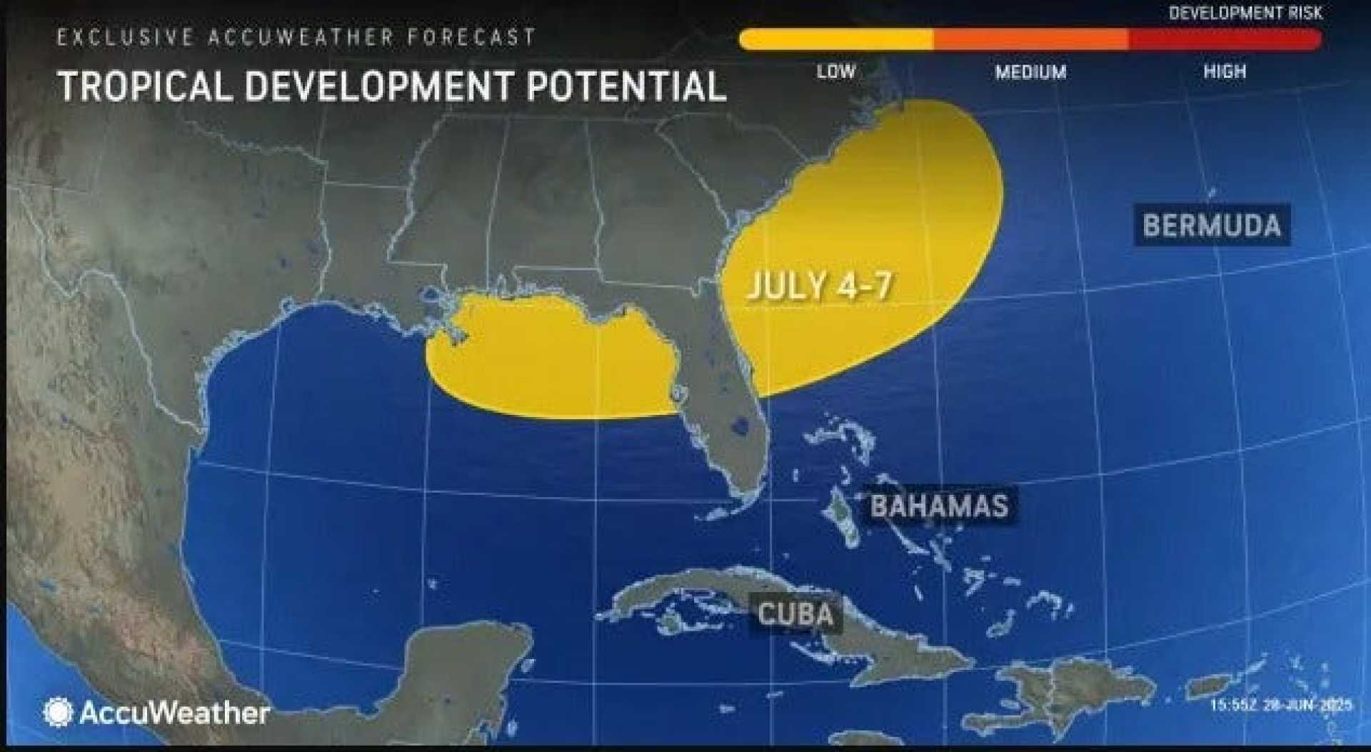
Miami, Florida — A system of stormy weather loitering off the Southeast coast has the potential to develop into a named tropical storm this weekend. The National Hurricane Center announced Thursday that there is a 60% chance of the system forming into a tropical depression or storm by early next week.
If the storms intensify, the next named system on the Atlantic season’s list would be Chantal. This weather pattern is already causing heavy rainfall, raising concerns about flooding in Florida as millions prepare for Independence Day celebrations.
The Weather Prediction Center warned that parts of Florida and coastal Georgia might experience flash flooding through Friday. These risks are expected to shift to the Carolinas over the weekend as the system approaches land.
Forecasts indicate that areas along the Carolina coast could see more than 3 inches of rain, while portions of Florida may experience up to 6 inches by the end of the holiday weekend.
The expected rainfall and stormy conditions may lead to dangerous beach days, increased rip currents, and rough seas. Even without a well-defined center, this area of storms is pulling in rich tropical moisture, making localized downpours likely, especially during peak holiday festivities.
If named, Chantal would become the third storm of the Atlantic hurricane season, noted for its potential impact on United States flooding. Previous storms, including Barry, were short-lived and weak.
July typically sees an uptick in storm formation due to warmer coastal waters. With the current system arising from stalled fronts over tropical air, forecasters urge caution along the coast.
Outside of the Southeast, most of the United States will enjoy ideal conditions for the Fourth of July, with clear skies in the Northeast and West. However, strong thunderstorms may develop in parts of the Plains and Upper Midwest during the weekend.


