Winter Storm Alert: Snowfall Expected in Kansas City Starting Tonight
KANSAS CITY, Mo. — A winter storm is set to impact the Kansas City metro area, with a significant snow accumulation expected starting Tuesday night and continuing through Wednesday, according to the National Weather Service. Snowfall totals could reach between 3 to 8 inches, affecting both the Tuesday evening and Wednesday morning commutes.
Light snow is anticipated to begin early Wednesday morning, crossing over from eastern Kansas into western Missouri after midnight. The bulk of the storm will see moderate to heavy snow between 6 a.m. and noon on Wednesday, followed by light snowfall continuing into the early evening. The forecast predicts total snowfall in the Kansas City metro area will likely fall between 3 to 6 inches.
“Parents and guardians should be prepared for possible school cancellations on Thursday,” a meteorologist stated during a morning briefing. “The expected snowfall combined with low temperatures will create hazardous driving conditions.”
Additionally, light freezing drizzle could lead to a thin glaze of ice on roads southeast of Kansas City before the transition to snow. This winter storm is predominantly expected to produce powdery and fluffy snow, characterized by a high snow-to-liquid ratio of about 15 to 1.
Hazardous road conditions are expected, prompting the issuance of a winter storm warning, effective until 9 p.m. Wednesday. This warning includes several counties in both Kansas and Missouri, such as Atchison, Johnson, and Leavenworth in Kansas, and Buchanan, Clay, and Jackson in Missouri.
Below the winter storm watch, temperatures are expected to drop significantly with lows reaching as low as 3 degrees and wind chills potentially feeling as cold as -15 degrees on Thursday. The storm is expected to result in slippery roadways, leading to possible school closures and disruptions to morning and evening travel.
Forecast models indicate that this storm system will bring the heaviest snow accumulation just north of Interstate 70, with areas such as Parkville seeing potentially higher amounts. Residents are advised to prepare for winter weather conditions and consider travel delays. “It’s best to plan for both the lower and higher ends of the snowfall range to account for the inherent uncertainty of winter storms,” the meteorologist added.
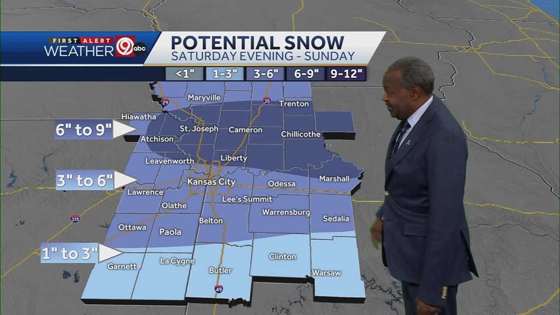
Following Wednesday’s storm, another round of precipitation is expected on Saturday, which could involve rain and snow. Residents are urged to stay updated as forecasts continue to evolve in the days ahead.