News
Severe Storm Threat Looms Over Kansas City This Tuesday
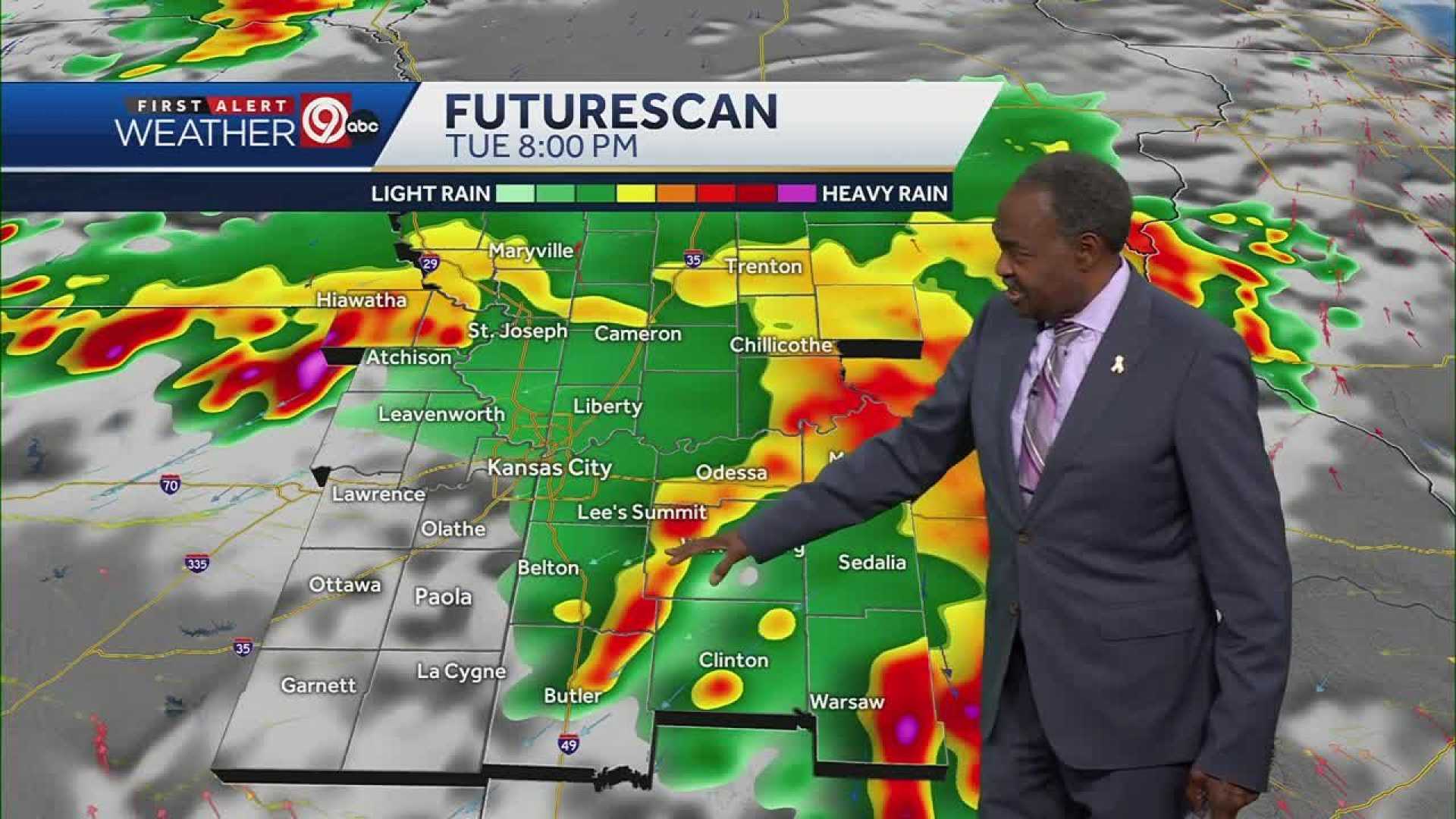
KANSAS CITY, Mo. (KCTV) – The First Warn 5 weather team has issued a First Warn Weather Day for Tuesday, indicating a heightened risk for severe thunderstorms across the area. The meteorological outlook suggests the potential for dangerous storms, particularly from 11 p.m. to 3 a.m.
A Level 3 out of 5 risk is in place for the southwestern sections of the Kansas City metro, while the rest of the region falls under a Level 2 risk. The primary threats include damaging winds, large hail, and the possibility of tornadoes, alongside torrential rainfall leading to flooding.
Scattered rain is expected throughout Tuesday, with early morning temperatures around 70 degrees and a high near 83 in the afternoon under mostly cloudy skies. The severe weather risk escalates later in the evening as a cold front approaches.
Looking ahead to Wednesday, morning storms are likely with a low chance of severe weather, as rain begins to move eastward. Highs will reach into the low to mid-80s as the day progresses.
Thursday marks Juneteenth, and the forecast predicts sunny, hot, and humid conditions with temperatures in the upper 80s. The following day, the official start of summer on Friday, is expected to be equally hot, nearing 90 degrees, feeling closer to 95 to 100 due to humidity.
The weekend will see continued heat and humidity, with highs in the low 90s and a heat index reaching 95-100. However, gusty south winds up to 35 mph may offer slight relief from the oppressive heat.


