News
Brampton Braces for Snow and Freezing Temperatures This Week
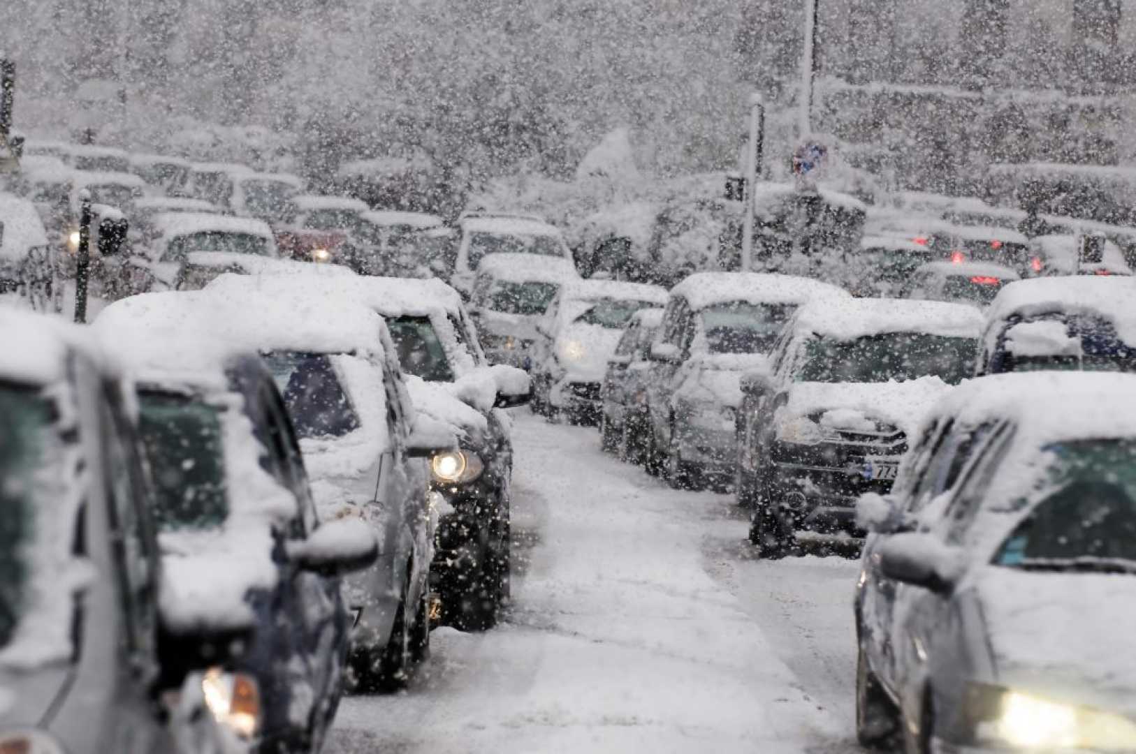
BRAMPTON, Ontario — Environment Canada has issued a weather forecast for Brampton, predicting a mix of snow, freezing rain, and chilly temperatures throughout the week. Residents should prepare for fluctuating conditions, including potential snow squalls and wind gusts reaching up to 60 km/h.
Today, the region will experience snow ending near noon, with a risk of freezing rain in the morning. Snowfall amounts are expected to range between 2 to 4 cm, with temperatures peaking at 3°C. Wind chills will make it feel as cold as -9°C in the morning. The wind will shift to the southwest, gusting up to 50 km/h in the afternoon.
Tonight, conditions will remain cloudy with a few flurries beginning after midnight. There is a risk of snow squalls overnight, accompanied by local blowing snow and additional accumulation of up to 2 cm. Temperatures will drop to -6°C, with wind chills making it feel like -13°C.
Tomorrow, increasing cloudiness is expected, with wind gusts reaching 50 km/h from the northwest. The daytime high will be -3°C, with wind chills as low as -14°C in the morning. The UV index will remain low at 2.
Looking ahead, the rest of the week will bring a mix of sun and cloud, with a 60 percent chance of snow on Wednesday and Thursday. Highs will hover around -3°C to -6°C, while nighttime lows will dip to -10°C or lower. Wind chills will continue to make conditions feel significantly colder.
Environment Canada advises residents to monitor updates and prepare for hazardous travel conditions due to snow and blowing snow. The sun will rise at 7:29 a.m. and set at 5:37 p.m. on Wednesday, offering limited daylight hours.


