Central New York Braces for Lake-Effect Snow and Plummeting Temperatures
SYRACUSE, N.Y. — Central New York will experience more lake-effect snow on Thursday, with temperatures expected to fall sharply throughout the day, according to the National Weather Service.
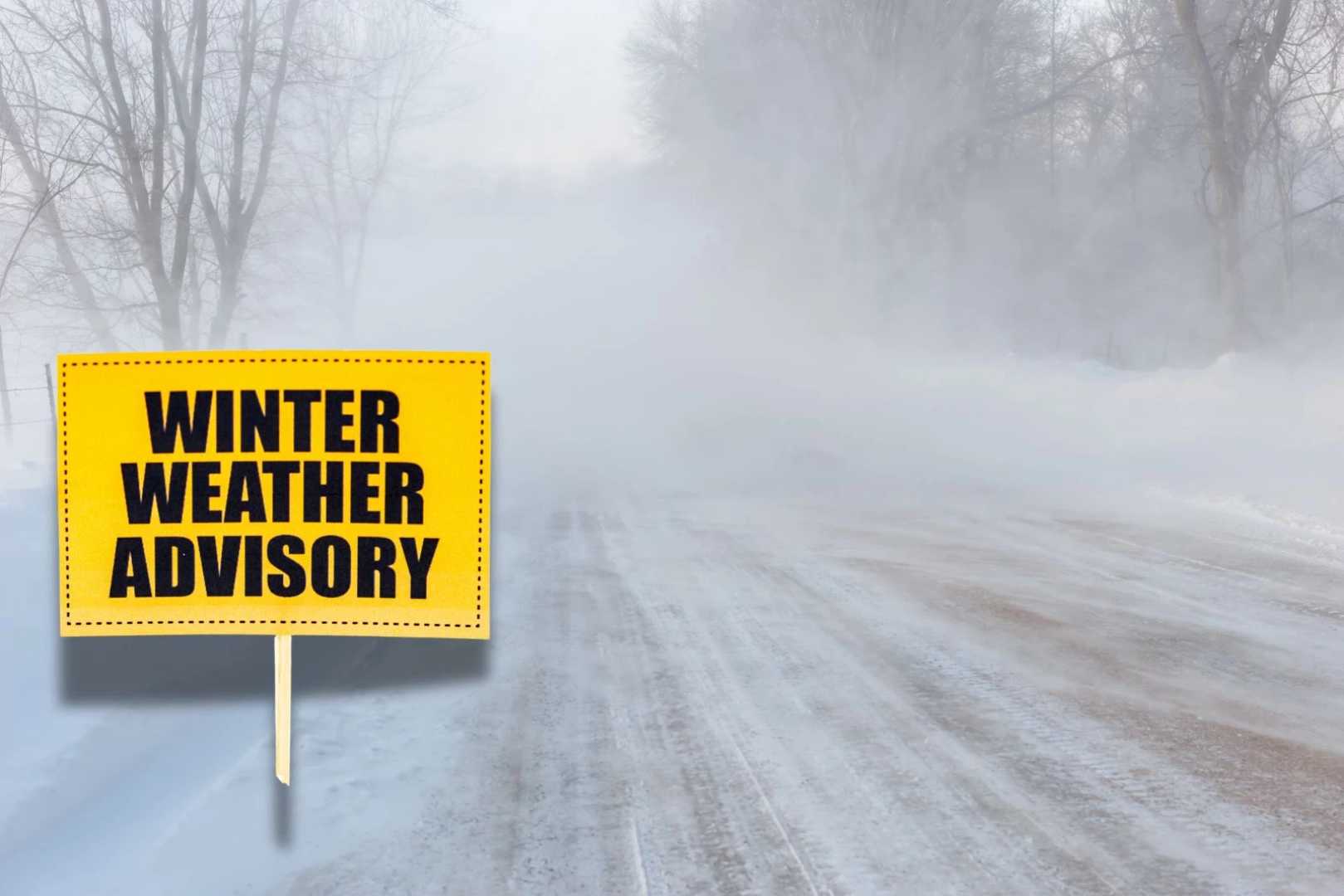
Snow showers are predicted through the morning, briefly rising temperatures to around 31 degrees before dropping to the low 20s by afternoon. Northwest winds will blow at 9 to 14 mph, with gusts up to 33 mph, leading to blowing snow and reduced visibility.
The Syracuse area is expected to receive less than 3 inches of snow today, while some regions may only see half an inch. The forecast continues a stretch of lake-effect activity, prompting advisories across much of Central New York, including Onondaga, Madison, Oswego, Jefferson, and Lewis counties.
Forecasters have warned that the narrow snow bands could cause rapidly changing road conditions. Snow showers may begin to taper off by early evening, with flurries possible before 7 p.m. Skies will clear overnight, with temperatures expected to plummet to around 7 degrees and light winds.
On Friday, a break from the snow is expected, with mostly sunny skies and a high near 28 degrees. However, wind chills may drop as low as zero. Clouds are set to return Friday night, with a low around 19 degrees and light south winds.
The ongoing weather patterns have placed a strain on local areas, as residents prepare for the arrival of winter conditions that are typical for this time of year.