News
Chicago Colder Than Antarctica as Arctic Blast Hits City

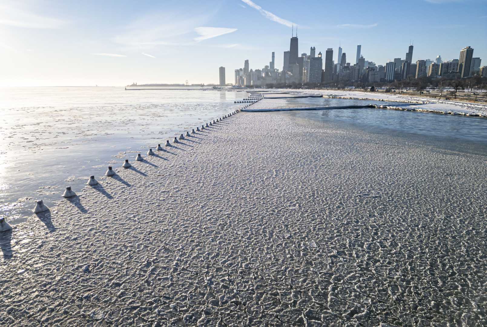
CHICAGO — The Windy City is experiencing temperatures colder than Antarctica this week, with wind chills plunging into the negative double digits and frostbite risks escalating for anyone venturing outside. The National Weather Service (NWS) warns that this is the coldest stretch Chicago has seen since January 2023.
“It’s the coldest stretch of weather since January of last year,” said Jake Petr, a meteorologist with the NWS. “Limit the time you spend outside.” Petr added that wind chills could make it feel as cold as -15 to -25 degrees, with the frigid conditions expected to persist until after midnight.
At McMurdo Station in Antarctica, the continent’s largest research base, temperatures reached 27 degrees at 4 p.m. Central Time on Tuesday. In stark contrast, O'Hare International Airport recorded a mere 1 degree at the same time. The Arctic blast is the result of a significant southerly dip in the jet stream, which has funneled freezing air into the region.
Wednesday is expected to bring some relief, with daytime highs climbing to the mid-20s and the possibility of snow in the evening. However, temperatures will dip again on Thursday and Friday, hovering in the lower 20s before rebounding to above-freezing levels by Saturday.
Petr cautioned residents to avoid prolonged outdoor exposure, as frostbite can set in within 30 minutes in these extreme conditions. “This is about the coldest we’ll see for a while here,” he said, adding that February is likely to bring slightly warmer-than-average temperatures.
Meanwhile, Chicago is also grappling with a lack of snowfall this winter. The city has recorded just 3.9 inches of snow at O’Hare International Airport this January, well below the monthly average of 11.3 inches. This marks one of the least snowy Januarys in recent history, with only 0.6 inches falling in January 2017.
According to NWS historical data, Chicago’s snowiest January occurred in 1918, when the city saw 42.2 inches of accumulation. More recently, the winter of 2014 stands out, with 33.7 inches of snow recorded. February, however, remains a relatively snowy month, averaging 10.7 inches of snow since 1871.
Residents are advised to stay indoors if possible and dress in layers if venturing outside. The city is expected to see light snowfall on Wednesday, with accumulations ranging from half an inch to two inches, potentially causing visibility issues during the afternoon commute.


