Coastal Flood Advisory Issued for Atlantic County Amid Severe Weather Alerts
Atlantic County, NJ – The National Weather Service issued a coastal flood advisory on Monday at 4:45 a.m., effective from 4 p.m. to 10 p.m. Residents should prepare as up to one foot of inundation is expected above ground level in low-lying areas near shorelines and tidal waterways.
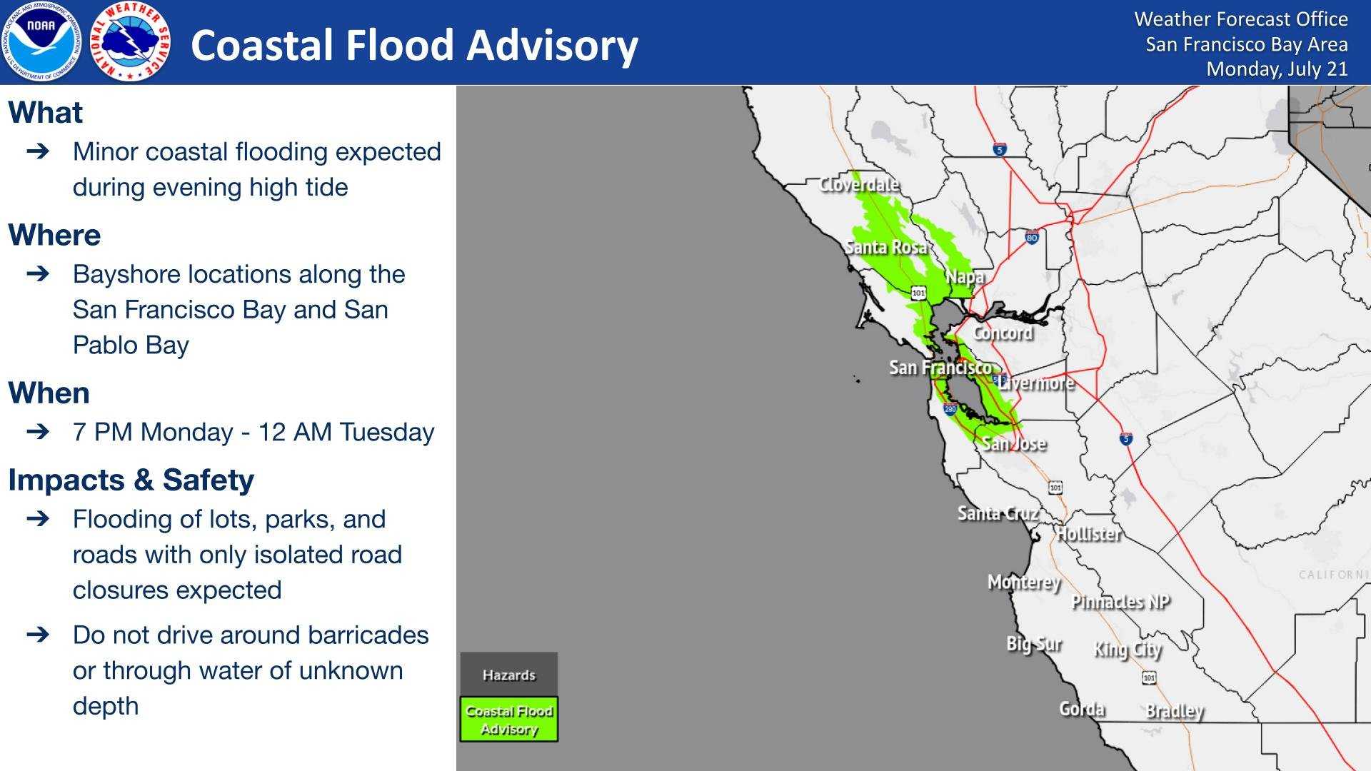
As flooding begins on vulnerable roads in coastal communities, some partial or full road closures may occur. The National Weather Service urges citizens to allow extra travel time and warns against driving around barricades or through water of unknown depth. They recommend taking necessary actions to protect flood-prone property.
Along with the coastal advisory, a flood watch is in effect for most of the Delaware Valley. Several counties under the coverage area for CBS News Philadelphia are also facing a severe thunderstorm watch as storms return.
A flash flood warning is currently in effect until 11 p.m. for Burlington County in New Jersey, New Castle County in Delaware, and several counties in Pennsylvania including Bucks, Chester, Montgomery, and Philadelphia. The flood watch covers parts of the same areas, valid until 1 a.m. Thursday.
According to meteorologists, the warm, muggy air returning to the region is a result of a high-pressure system over the western Atlantic, commonly referred to as the “Bermuda High.” Dew points are expected to climb into the low to mid-70s, with afternoon highs reaching the upper 80s to low 90s, making it feel more like the upper 90s.
Although no heat advisory is in effect, the combination of heat and humidity will create uncomfortable conditions. A cold front is expected to approach later in the day, bringing a chance of slow-moving storms that could lead to localized flash flooding.
The Storm Prediction Center has categorized the area as having a marginal risk for severe weather, with a focus on the potential for excessive rainfall. Damaging winds may occur, but flooding remains the primary concern. As the front is expected to stall nearby, clouds and the chance for scattered showers and storms will persist through Thursday.
As temperatures are forecasted to stay warm in the mid to upper 80s, high humidity levels will prevail. This weather pattern will transition by Friday when conditions begin to improve as high pressure moves in from the north, significantly lowering humidity levels.