Heavy Rains and Flood Risks Loom for Central Florida
ORLANDO, Fla. – Central Florida residents are preparing for heavy rains and possible flash floods as a low-pressure system, designated Invest 93-L, will move over the area today. The National Hurricane Center has increased the chances of the system developing into a tropical storm, with a 40% likelihood over the next two days.
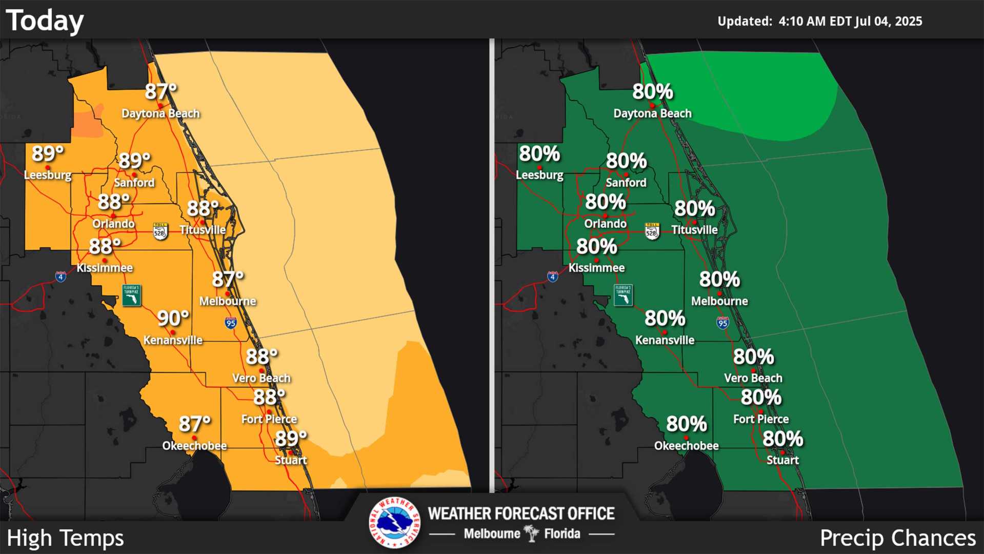
As the system approaches, forecasters predict that parts of Central Florida could see anywhere from 1 to 3 inches of rain, with some areas receiving upwards of 3 inches. The greatest risks include flooding, lightning, and wind gusts reaching 45 mph.
“It’s crucial to have your rain gear handy as we expect showers and storms to develop throughout the day and evening,” said meteorologist Tony Mainolfi. “The heaviest rains are likely during midday, so if you’re out for lunch, expect drenched conditions.”
Starting Monday, more than 80% of the area will experience storm activity, continuing through the midweek. Areas across West and North Texas and Oklahoma also face elevated flood risks due to ongoing heavy rains.
Weather models suggest that once the system moves into the Gulf of Mexico, it could continue to bring moisture to Central Florida well into the week. The forecast indicates an ongoing potential for substantial rainfall even if the system does not evolve into a named storm.
Residents are cautioned to monitor local weather updates for potential flooding advisories. As tropical conditions linger, a warm-up in temperatures is expected heading into the weekend.