Potential Rainfall and Tropical Threats Impact Southeast Coast
SAN ANTONIO, Texas – A low pressure system is expected to bring some rain this weekend across parts of Texas and the Southeast. The forecast shows increased cloud cover and temperatures staying in the low to mid-90s this weekend.
According to KSAT Weather Authority Meteorologist Sarah Spivey, the high pressure will move in from Monday to Wednesday, pushing temperatures close to 100 degrees. Following that, another low pressure system is anticipated to move in from Thursday to Saturday, potentially bringing spotty rain showers.
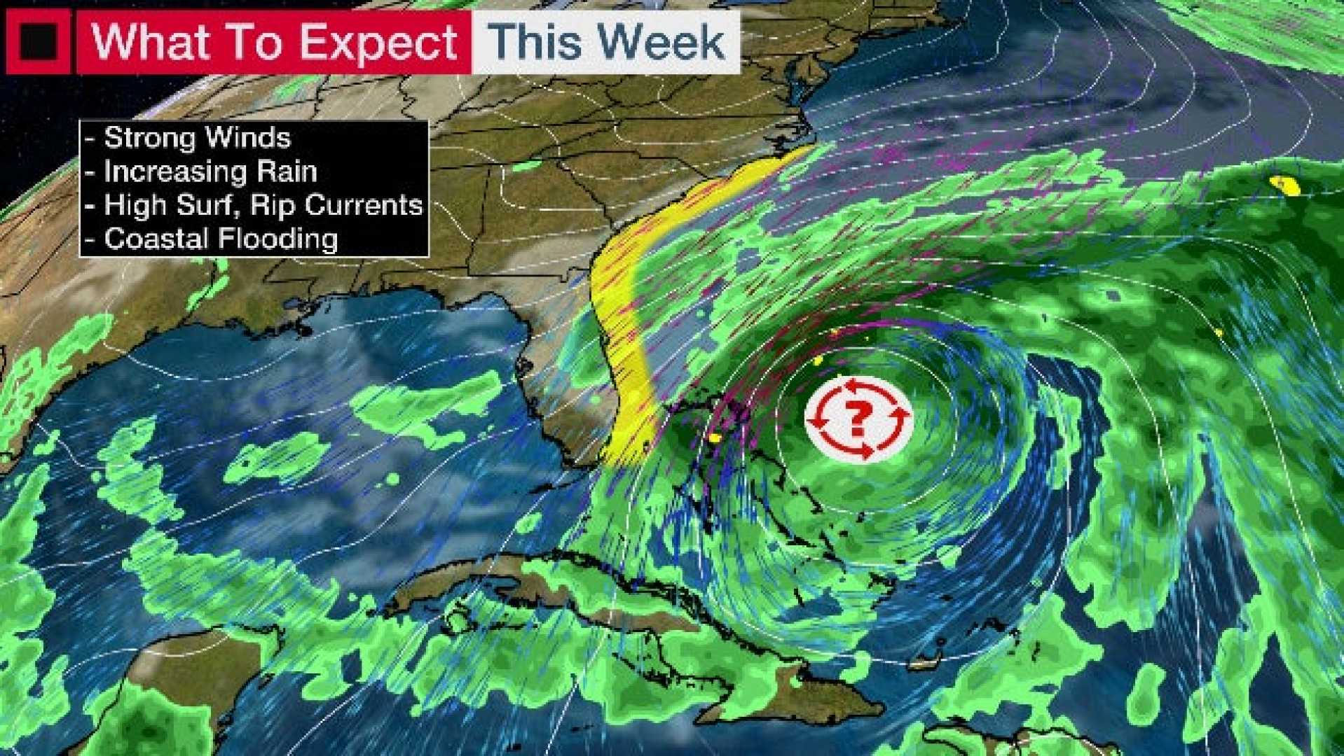
Meanwhile, in Tallahassee, Florida, meteorologists are monitoring a stalled cold front combined with tropical moisture from the Gulf of Mexico. This situation is raising concerns for heavy rain and thunderstorms along the Southeast coast, especially from Florida to Louisiana.
The FOX Forecast Center indicated this setup is similar to one that occurred off the East Coast last week. While there is a possibility of a new area of low pressure developing near the same spot where system 93L formed, the forecast suggests that it may stay broad and disorganized.
Even without this new system becoming well organized, it is expected to draw substantial tropical moisture, leading to heavy downpours, particularly along the Interstate 10 corridor. Drive conditions in the affected areas may become hazardous by midweek and persist through at least Friday.
Rainfall totals of 2 to 3 inches are possible across much of the northern Gulf Coast, with the potential for isolated flooding in areas with prolonged heavy rain.