News
Rain and Snow Expected in San Francisco Bay Area This Week

SAN FRANCISCO, Calif. — The National Weather Service forecasts rain and cool temperatures for the greater San Francisco Bay Area on Thursday, with daytime highs reaching the low 60s along the coast and in the mid-60s near the bay and inland.
Forecasters indicate that light rain will continue into Friday, particularly affecting North Bay and coastal counties, although the overall impact will be minimal. Rainfall totals are expected to be modest, with areas south of the Golden Gate averaging up to a quarter of an inch and up to half an inch in the North Bay.
In addition to rain, gusty winds are projected across the region, with widespread gusts between 20 to 30 mph and peak gusts reaching up to 35 mph in elevated areas. Winds are expected to diminish by Thursday night.
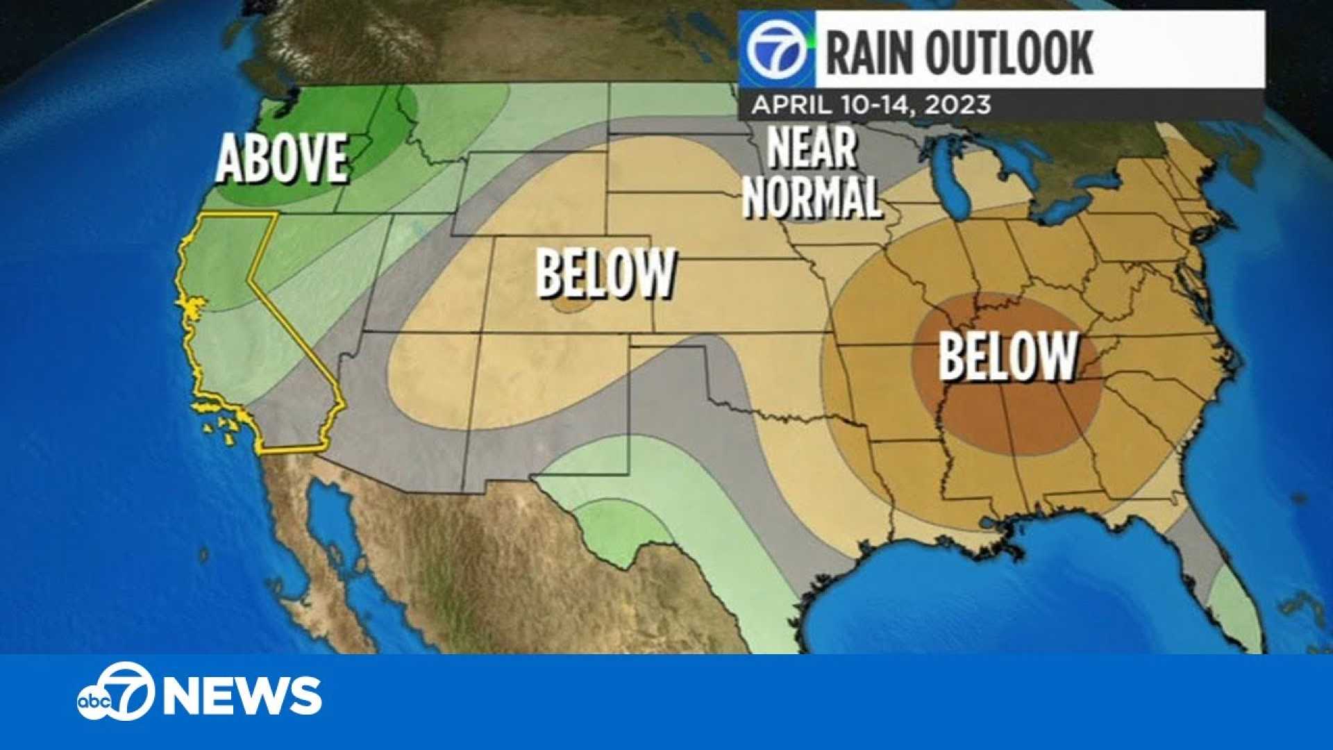
A brief dry spell is anticipated Friday into Saturday, but rain is likely to return on Sunday, with predictions for intensification in the middle of next week. A High Surf Advisory is in effect from 5 a.m. Thursday through 1 a.m. Friday for west and northwest-facing beaches, where wave heights are expected between 25 to 30 feet. Additionally, a Beach Hazards Statement has been issued for the Northern Monterey Bay, warning of hazardous conditions due to breaking waves of 15 to 20 feet.
Looking ahead, the weekend will bring a mix of sun and showers, with daytime temperatures remaining cool. Monday may see an increase in isolated thunderstorms and even hail as colder air moves in, with snow levels dropping to between 3,500 and 4,000 feet. Snow accumulation could reach 3 to 4 feet in the Sierra Nevada mountains through Tuesday night, with 6 to 12 inches possible at elevations as low as 3,000 to 4,000 feet. This snowfall is attributed to a combination of cold air and persistent WSW winds that enhance moisture flow over the Sierra, an effect known as orographic lift.
Reservoirs across California are sitting at over 84% capacity, surpassing their historical averages ahead of the anticipated snowmelt in spring and early summer. This year’s snowfall is significant, as it may lead to the first consecutive years of above-average snowpack since 2006, providing a much-needed boost to the state’s water resources as the warmer months approach.


