News
Record April Snowstorm Hits Colorado Mountains with Stunning Totals
DENVER, Colo. — A late-season snowstorm descended on Colorado starting Friday, April 18, 2025, bringing substantial snowfall to the mountainous regions while the plains recorded lighter accumulations.
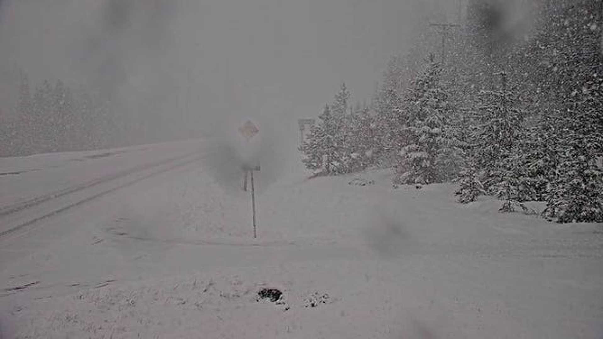
The storm primarily impacted Colorado’s Central Mountains, with Loveland Pass receiving the highest total of 16.8 inches. Major snowfall also blanketed nearby areas, leading to various winter weather advisories.
Reports from the National Weather Service indicated that the storm dropped significant amounts across several areas. Conifer topped the list with 17 inches, while Eldora and Breckenridge reported 12 inches each. Salida and Westcliffe saw 14 inches of new snow, contributing to hazardous driving conditions for residents and travelers alike.
In contrast, the Denver metro area experienced much less snow, with Denver International Airport measuring only 0.06 inches, despite reported delays for hundreds of flights. Snowfall in the city ranged from 2 to 5 inches, with 3.9 inches reported in Denver itself and up to 4.9 inches in Westminster.
“We expected warmer ground temperatures to affect snow accumulation in the lower elevations,” said meteorologist Jill Ethan at the National Weather Service. “But the mountains really took the brunt of this storm.”
In the Colorado Springs region, snowfall was more impressive, as the west side recorded 6.1 inches. Other parts, including Black Forest and Peterson Space Force Base, reported 3 inches each, while further south, areas like Canon City experienced over 8 inches.
A Winter Storm Warning remained in effect until Saturday afternoon for areas including Fremont County, which encompasses towns like Buena Vista, Salida, and Penrose. The warning covered mountainous areas expected to receive additional snowfall.
As the storm moved northeast, forecasts indicated clearing skies by Easter Sunday, bringing anticipated warmer temperatures into the weekend.
Flight delays and cancellations were a significant issue due to the storm. Denver International Airport indicated the most disruptions with 162 delays and two cancellations reported as of Saturday afternoon.
According to the latest totals provided by the National Weather Service, additional snow accumulations included:
- Conifer – 17 inches
- Loveland Pass – 16.8 inches
- Salida – 14 inches
- Westcliffe – 14 inches
- Breckenridge – 12 inches
- Eldora – 12 inches
Meanwhile, lower elevations registered varied totals, with areas like Pueblo West receiving 6.9 inches and various locations in the Denver metro witnessing totals between 2 and 5 inches.
Residents across Colorado prepared for a warm-up in temperatures, with forecasters predicting highs in the low 60s as sunny skies return. However, the weekend is expected to remain busy for mountain weather services and local agencies overseeing road conditions and safety measures.


