News
Severe Storms Forecast to Disrupt Easter Weekend across Central US

KANSAS CITY, Mo. – Severe weather is expected to impact areas across the Plains, Midwest, and South throughout the Easter holiday weekend, threatening travel plans and prompting urgent weather warnings. The National Weather Service has issued alerts for conditions including large hail, damaging winds, and possible tornadoes.
According to weather forecasts, storms have already made their presence felt, particularly in southern Wisconsin, where early Friday morning thunderstorms produced hailstones as large as baseballs, alongside wind gusts reaching 68 mph. Reports from Edgerton, roughly 20 miles southeast of Madison, indicate vehicles sustained damage due to the severe hail.
Severe thunderstorms are projected to extend from the Ohio Valley to the Southern Plains on Saturday, and then shift to eastern Texas and the lower Mississippi valleys on Easter Sunday. The greatest likelihood of severe weather will likely occur in northern and central Missouri and southwestern Illinois, including areas such as Columbia and Jefferson, Missouri, and Quincy, Illinois, on Sunday.
Adding to the concern, localized heavy rainfall is anticipated, particularly in the lower Ohio and Mississippi River valleys, with heavier precipitation expected to extend westward from northern Texas to Missouri. Flash flooding poses a serious risk in these regions, especially from Friday night through Saturday night, with cities like Dallas-Fort Worth, Tulsa, Oklahoma, and St. Louis already on alert.
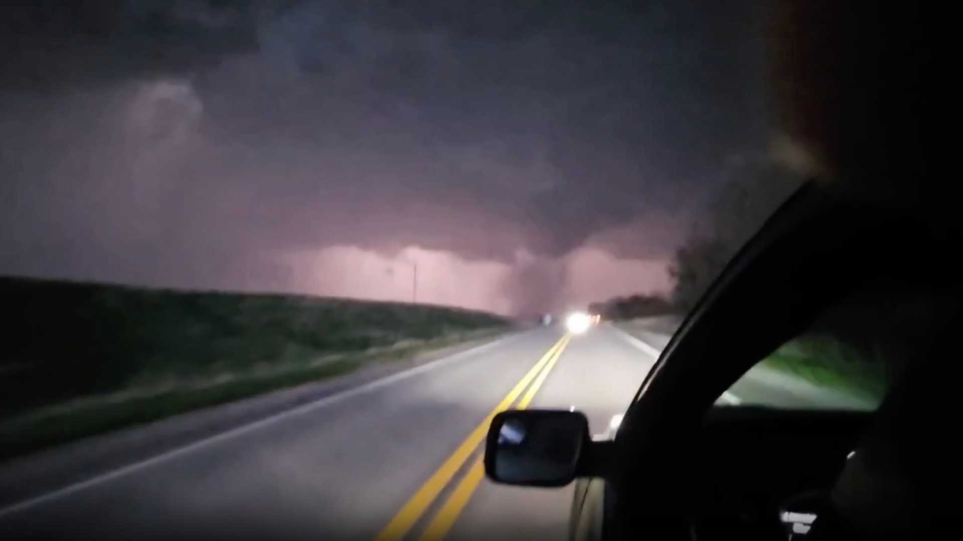
Severe weather activity began escalating late Thursday in eastern Nebraska and western Iowa, where at least three tornadoes were reported, prompting damage assessments. An EF3 tornado was documented near Omaha around 7 p.m. CT, bringing destruction to areas north of the city including Bennington and Fort Calhoun.
Some homes near Fremont, Nebraska, suffered significant damage as roofing was ripped off and power lines were downed due to strong winds reaching 82 mph. Hail reported in this region was as large as softballs, particularly just east of Council Bluffs in Iowa.
The occurrence of severe weather reflects a seasonally typical jet stream pattern, which has gradually shifted, allowing warm and humid air to move north from the Gulf. John Erdman, a senior meteorologist at weather.com, noted that this year’s severe weather season has been particularly active, with just three days since April 1 showing no severe weather warnings.
As people prepare for Easter weekend, safety experts urge residents in affected regions to remain vigilant and ready. It’s critical to have a plan in place and multiple methods for receiving alerts from the National Weather Service, including smartphone notifications and NOAA weather radios. Having charged devices and fresh batteries can be vital in emergencies.
“The threat level may rise as conditions develop,” said Zack Green, a meteorologist with FOX Weather. “There’s a risk for tornadoes on Easter Sunday, particularly in areas that have been hit hard by severe weather recently.”
Travel disruptions due to severe weather are a significant concern, particularly as families head out for the holiday. Residents are encouraged to monitor forecasts closely as the weekend approaches, with assurance that local and national weather services will provide up-to-date information and safety guidance.


