News
Severe Storms Threaten Millions in Central and Eastern US This Weekend

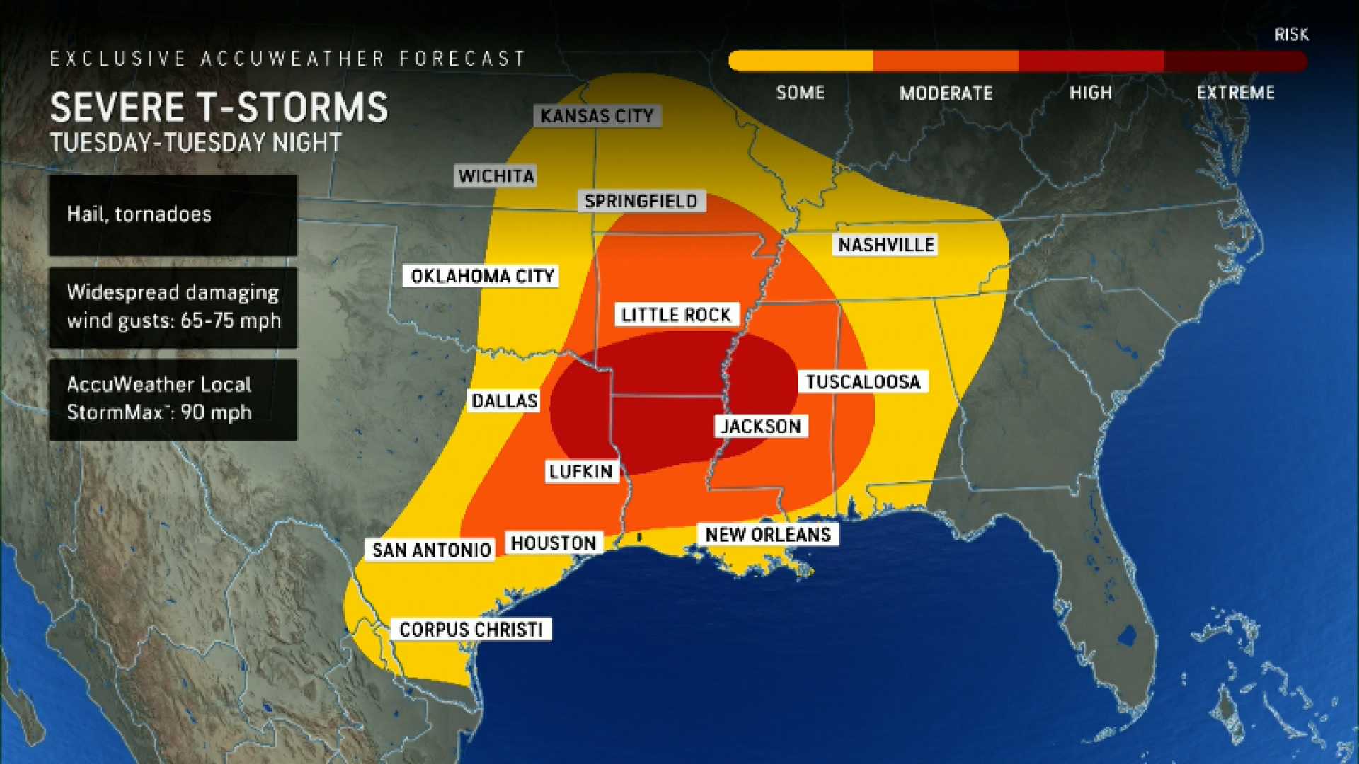
KANSAS CITY, Mo. — A potential outbreak of severe thunderstorms is forecast for Sunday and Monday, threatening nearly 175 million residents across the central and eastern United States. As unseasonably warm weather sets in, meteorologists warn of damaging winds, large hail, and even tornadoes, with some areas still recovering from devastating storms just two weeks prior.
The National Oceanic and Atmospheric Administration (NOAA) issued warnings, indicating that more than 25 million people are under a level 3 out of 5 risk of severe thunderstorms on Sunday. Notable cities such as Nashville, Indianapolis, and St. Louis lie within this high-risk zone, while an additional 45 million individuals face a level 2 risk in surrounding areas, including Dallas, Chicago, and Cleveland.
A cold front moving from the Midwest to the southern Plains is expected to clash with warm, moist air, creating conditions ripe for explosive thunderstorms. Jesse Ferrell, a meteorologist at AccuWeather, predicts that thunderstorms could start affecting regions from Illinois to eastern Texas by late Sunday afternoon, intensifying on Sunday evening and overnight. “The atmosphere will be primed for tornadoes, and some could be rated EF2 or higher,” he noted.
According to the Storm Prediction Center (SPC), the likelihood of tornadoes significantly increases when storms occur at night. Past statistics show nighttime tornadoes are nearly twice as deadly as those occurring during daylight hours. The SPC forecasts that severe storms may stretch from the Appalachians to Louisiana and Mississippi by Monday morning.
“The very large hail and destructive winds we anticipate could bring catastrophic damage in affected areas,” said SPC meteorologist Brian McNoldy. “We are particularly concerned for regions that were previously struck by severe storms just weeks ago.”
This year has already seen about 300 tornado reports since January—more than double the 164 recorded by the end of March 2024, and only three years since 2010 have experienced a higher count of tornadoes in the first quarter: 2023, 2017, and 2013. The previous year concluded with nearly 2,000 tornado reports, the second-highest on record.
Forecasters are also keeping an eye on the potential for significant flash flooding. Some areas may receive rainfall amounts reaching or exceeding 5 inches over the coming days, concentrating particularly in the Mississippi and Ohio valleys, creating conditions for dangerous flooding.
As the storms move into Monday daytime, meteorologists predict the East Coast will face threats of severe weather, with major cities from New Orleans to Boston under the level 2 risk category. However, the Northeast may experience a more considerable risk for powerful wind gusts compared to tornadoes. Closer to the Gulf, storm conditions may foster all threats, including hail and tornadoes.
“As we progress through this complex weather pattern, the effects could linger throughout the week,” said Ferrell. “Another severe thunderstorm threat is expected to emerge across a large area from Texas through the Midwest on Wednesday.”


