News
Severe Weather Threat Looms for Over 100 Million in U.S.

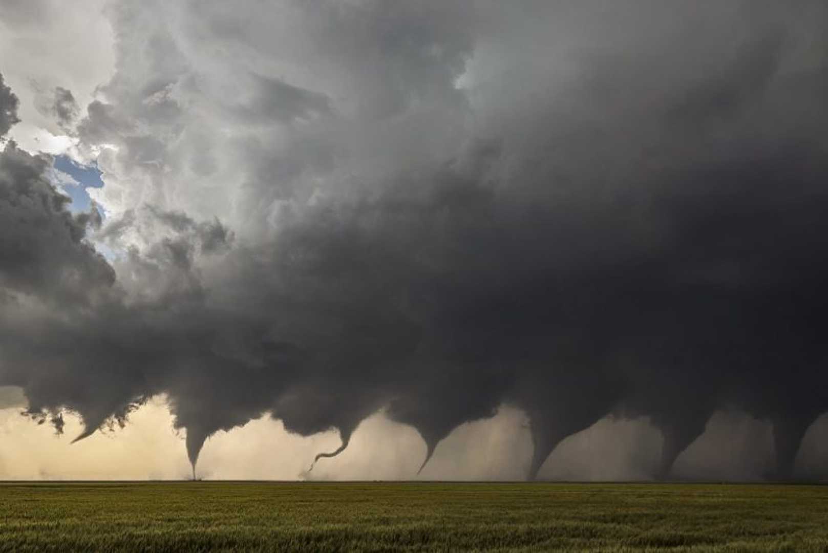
WASHINGTON, D.C. — A powerful storm system is poised to unleash severe weather across the eastern half of the United States, threatening over 100 million people with tornadoes, damaging winds, and large hail as March concludes.
Beginning Monday and continuing into the night, widespread storms are expected to advance from the Gulf Coast toward the Northeast, with a significant risk emerging similar to a severe weather outbreak experienced two weeks ago.
Early Sunday, an 85 mph wind gust was recorded in Baxter Springs, Kansas, causing roof damage and downed trees. Joplin, Missouri, reported wind gusts of 79 mph, while hail up to 2.5 inches in diameter fell near Bridge Creek and Amber, Oklahoma.
“These storms are set to intensify as they travel eastward, particularly through the Gulf Coast and the Ohio and Tennessee valleys,” said a meteorologist at the National Weather Service. “Severe weather can escalate quickly, and areas near the Mississippi River should be prepared for potential overnight storms.”
The severe threats include very large hail, damaging winds, and the possibility of EF2 or higher tornadoes across several states. Areas such as Atlanta, Charlotte, Raleigh, Columbia, and Washington, D.C., may see some of the worst impacts.
A midweek low-pressure system is also forecasted, potentially leading to another significant outbreak of severe weather stretching from the Midwest to the Ohio Valley. This compound threat has prompted NOAA’s Storm Prediction Center to issue warnings and highlight the importance of preparedness.
The setup for this severe weather aligns with typical March patterns, characterized by a sharp southward plunge of the jet stream. This creates conditions that foster storm development, particularly with a strong low-pressure system moving from Kansas to New York.
Current tornado watches are in effect for southern Illinois, southern Ohio, southwestern Indiana, western and central Kentucky, northeastern Arkansas, and western and central Tennessee. Notable cities threatened include Jonesboro, Arkansas; Louisville, Kentucky; and Nashville, Tennessee.
As severe thunderstorms develop overnight and into Monday, residents across affected areas should remain vigilant. The Storm Prediction Center warns of potential strong tornadoes along with damaging winds exceeding 60 mph and hail larger than golf balls.
“People need to stay informed and have multiple ways to receive alerts,” the meteorologist added. “A watch means that conditions are favorable for severe weather, while a warning indicates that severe conditions are imminent, requiring immediate action.”
As the system moves east on Monday, a large area of slight risk extends from southeastern Louisiana to central New York, encompassing much of the South, Southeast, Mid-Atlantic, and parts of the Northeast. Key cities including New Orleans, Atlanta, and Philadelphia should be prepared for severe weather.
Officials strongly advise residents to remain alert, keep devices charged, and have an emergency plan in place as the evolving severe weather threat unfolds.


