News
Severe Storms Expected in Tennessee Valley This Evening
CHATTANOOGA, Tennessee — The National Weather Service has issued a Storm Alert Weather Day for the Tennessee Valley due to severe storm potential this evening. Pop-up showers and storms are expected to continue throughout the afternoon as temperatures rise into the low 80s.
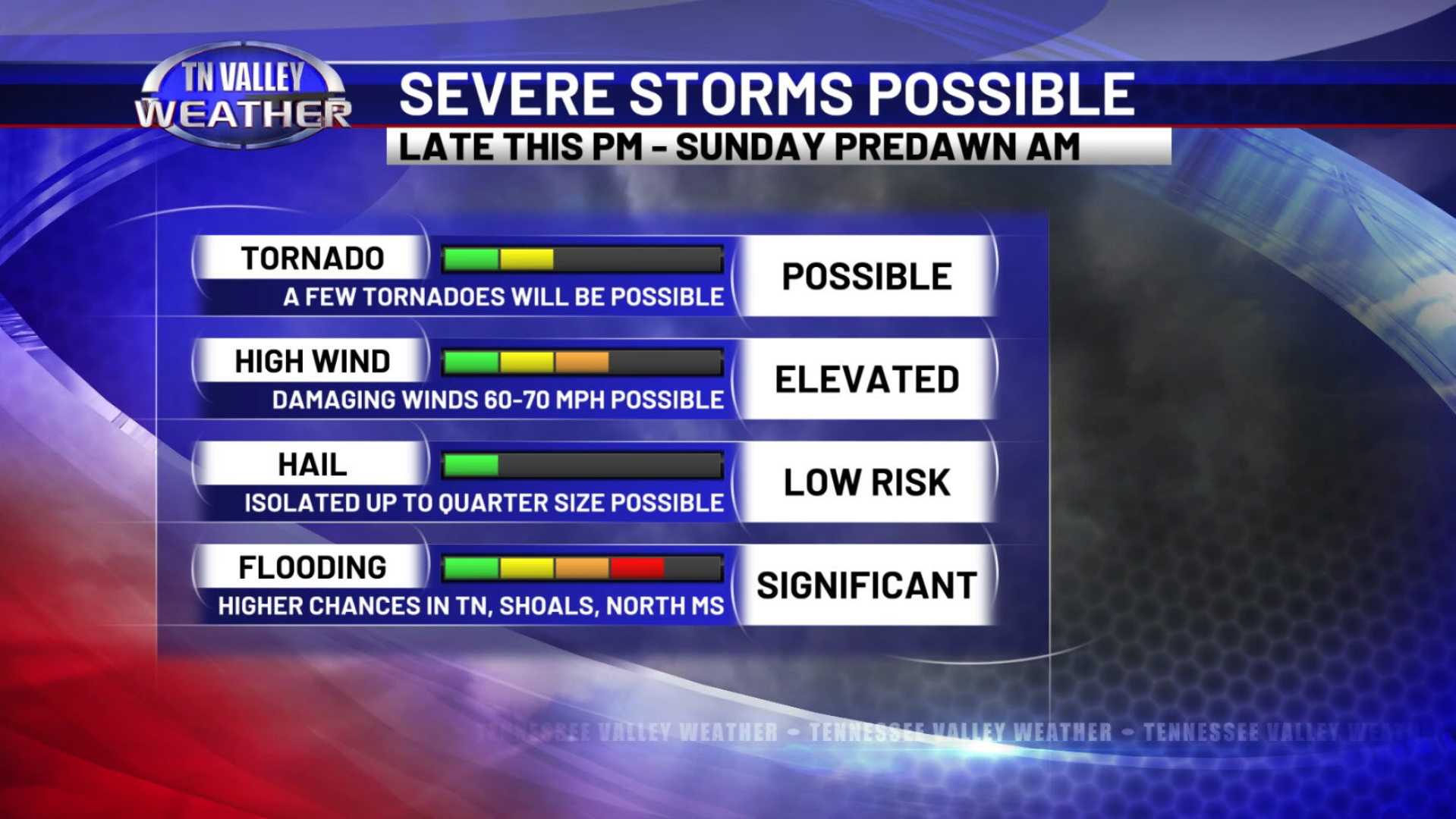
A cold front moving in from the west will bring widespread showers and storms between 6 and 11 PM ET, with severe storms likely. The main threats include damaging wind gusts, quarter-sized hail, and frequent lightning. Meteorologists stress that while conditions are not optimal for tornado formation, areas west of Chattanooga should remain vigilant for possible brief spin-ups.
Storm chances are expected to diminish after midnight. However, another round of widespread showers and storms is anticipated on Saturday afternoon into the evening, although the severe threat is expected to be lower.
High temperatures will cool down to the 60s on Saturday as a colder air mass moves in from the northwest. Lingering showers are expected to taper off by Sunday morning, leaving behind a dry day.
Residents are encouraged to stay updated through weather apps for any changes and alerts as severe weather can develop rapidly. Meteorologist Clay Smith advises keeping mobile devices charged to receive real-time weather notifications.


