News
Severe Thunderstorms Expected in Colorado This Sunday
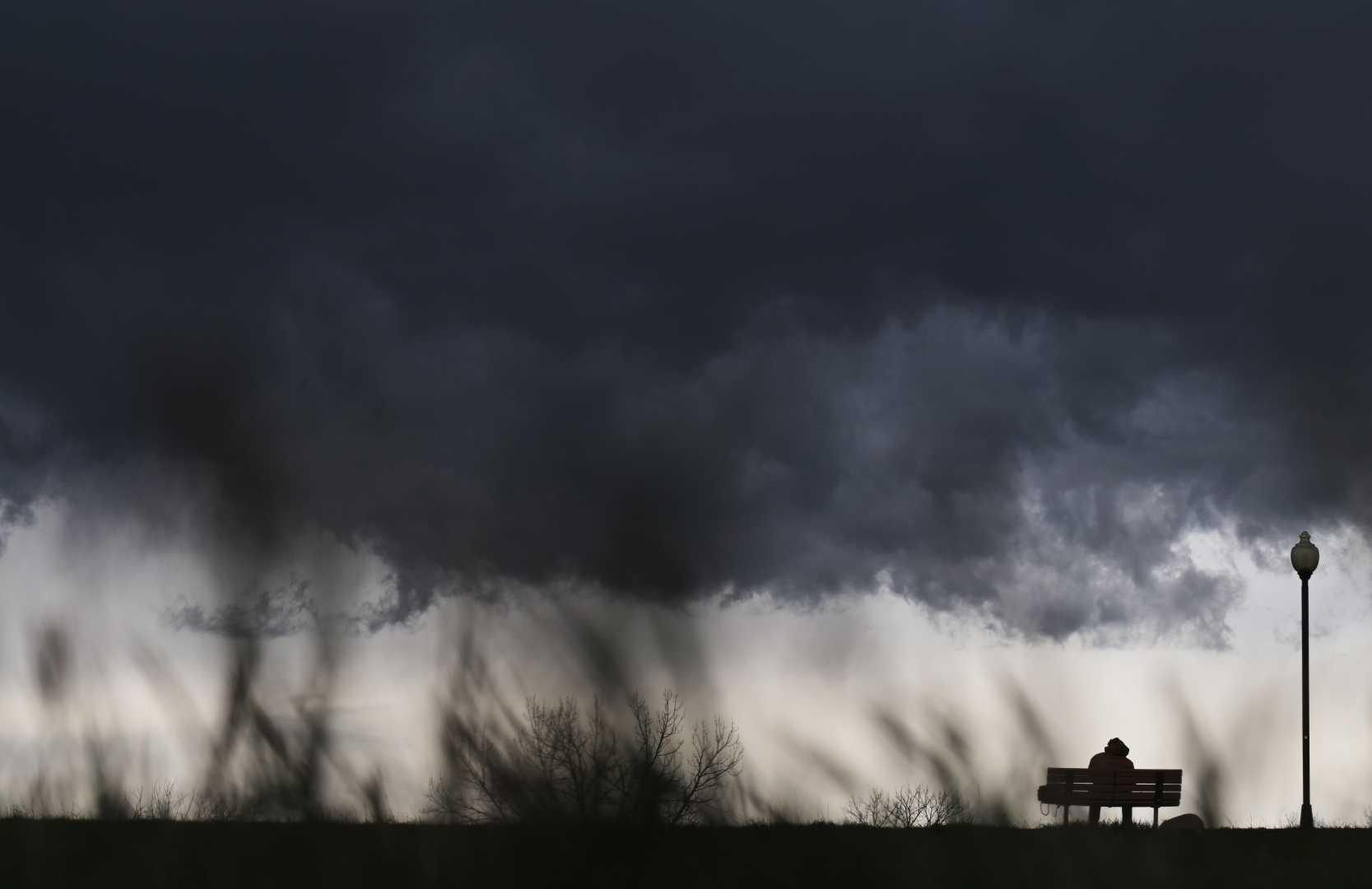
DENVER, Colorado – Severe thunderstorms are forecasted to develop across eastern Colorado on Sunday, potentially bringing damaging hail and tornadoes to the region, according to the National Weather Service (NWS).
The storms are expected to begin in the afternoon, primarily affecting areas along and north of Interstate 70. Forecasters predict the storms will intensify into the evening, leading to a heightened risk of severe weather.
The NWS has identified the northeast plains, particularly Logan, Sedgwick, and Phillips counties, as the areas most likely to experience severe conditions. The window for the biggest threats is between 4 p.m. Sunday and 3 a.m. Monday.
“Large hail and isolated tornadoes will be the primary threats,” warned NWS officials. “The greatest risk of severe weather will occur between 2 p.m. and 9 p.m. Sunday.”
Heavy rain and thunderstorms are also predicted for the Denver metro area, but the severe weather threats are minimal there. Rain is expected to begin after 2 p.m., with potential rainfall continuing until 9 p.m.
The NWS also reported that hail from the storms could reach at least one inch in diameter, roughly the size of a quarter. Additional threats include strong wind gusts, which may reach up to 50 mph.
Severe weather is not the only concern for Colorado this weekend. Mountains in the state are under a Winter Weather Advisory, where significant snowfall is anticipated. Forecasters estimate that higher elevations could see 5 to 10 inches of snow.
“Travelers in the high country should prepare for hazardous conditions, including blowing and drifting snow,” NWS warned. “Wind gusts may also impact visibility and driving conditions.”
As Coloradans prepare for severe weather, officials recommend staying informed through local news outlets and the NWS for updates. Sunday’s weather will also affect thousands involved in the Colfax Marathon, which is set to take place in Denver.


