News
Severe Thunderstorms Expected in Colorado This Weekend
DENVER, Colorado — Severe thunderstorms are predicted to hit Colorado this Sunday afternoon, with damaging winds and large hail likely affecting the Eastern Plains, according to the National Weather Service.
The storms are expected to begin spreading across the metro area and the Eastern Plains by late afternoon and continue into the evening, forecasters stated. The strongest storms could produce wind gusts of 60 mph and hail up to a quarter-sized, or approximately one inch in diameter.
The National Severe Storms Laboratory considers these conditions severe and potentially damaging, warning residents in the affected areas to be cautious. In northern and central Colorado, wind speeds may reach 40 mph, with only small hail expected.
Forecasters mentioned that the worst of Sunday’s storms should dissipate by around midnight. The potential for severe storms may linger into Monday, specifically in the Eastern Plains, bringing more damaging winds and large hail.
In addition, Colorado’s weather for the rest of the week shows afternoon storms that could produce small hail, gusty winds, heavy rain, and occasional lightning. However, severe winds and large hail are not anticipated through mid-week.
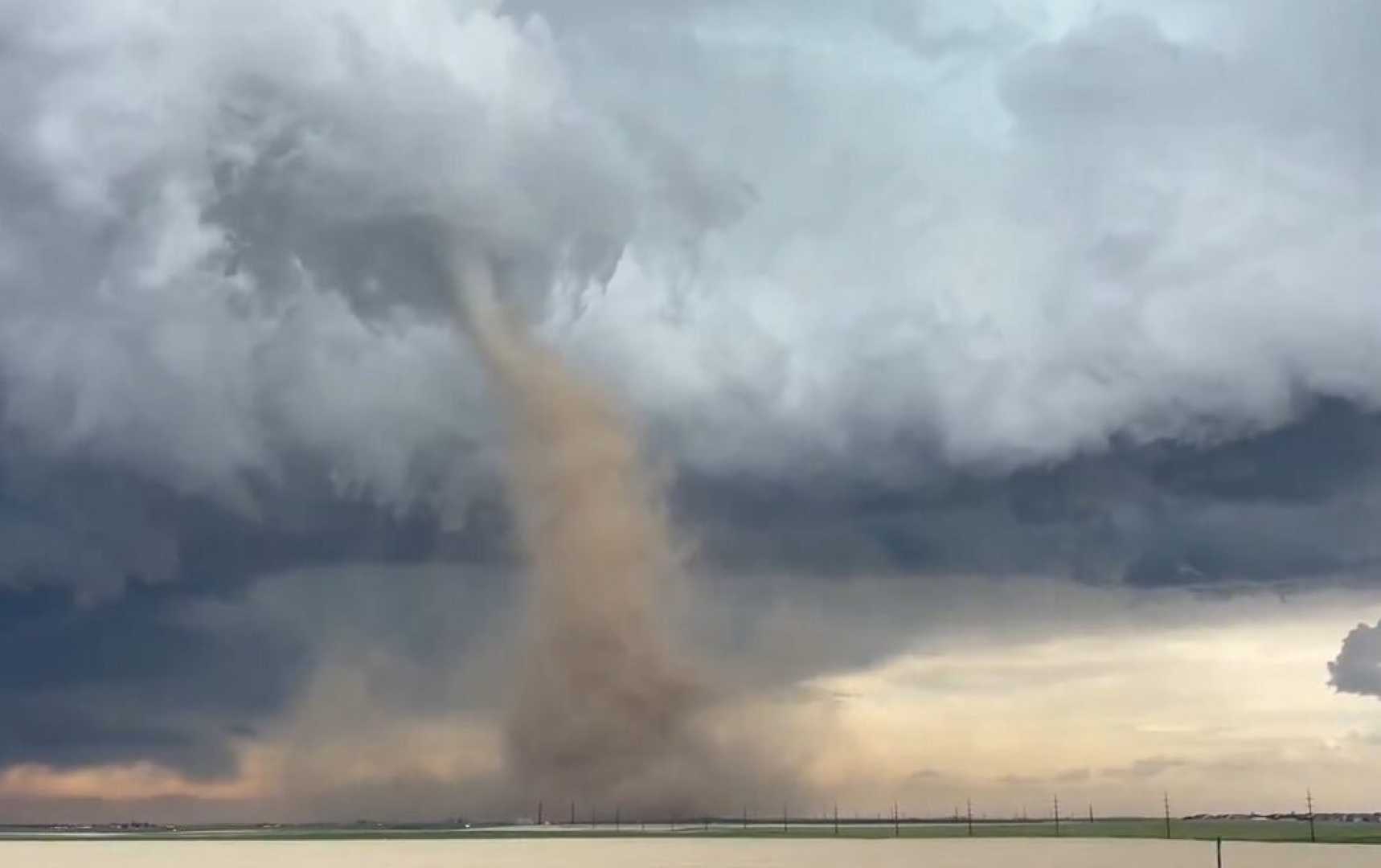
As a follow-up, meteorologists warn of increased severe weather risk on Wednesday, when thunderstorms are forecasted to develop in Southern Colorado. These storms may begin between 12 and 2 PM, especially in the Pikes Peak Region. As they move eastward, they could intensify to damaging wind gusts of 70 mph and hail reaching up to two inches.
Residents of the Plains should be vigilant, as brief tornadoes could also occur. The severe weather threat is expected to decrease by the evening, but some lingering showers might persist late into the night.
High temperatures on Wednesday are forecasted to reach the 70s and 80s across various regions, with specific city forecasts indicating highs of 73 in Colorado Springs, 80 in Pueblo, and 79 in Canon City.


