News
Evacuations Ordered as Gifford Fire Burns 818 Acres in California
San Luis Obispo County, California – Evacuations have been ordered for several zones in San Luis Obispo County due to the Gifford Fire. Areas affected include zones LPF-016, LPF-017, LPF-019, and SLC-337. This evacuation area includes the region north of Highway 166, east of Cable Corral Road, south of Tajea Flats Road, and west of Chimineas Road.
In Santa Barbara County, evacuations have also been mandated for the area south of Highway 166, east of Willow Springs Trailhead, and west of Cottonwood Canyon Road. As the fire continues to spread, officials are urging residents to check their evacuation zones.
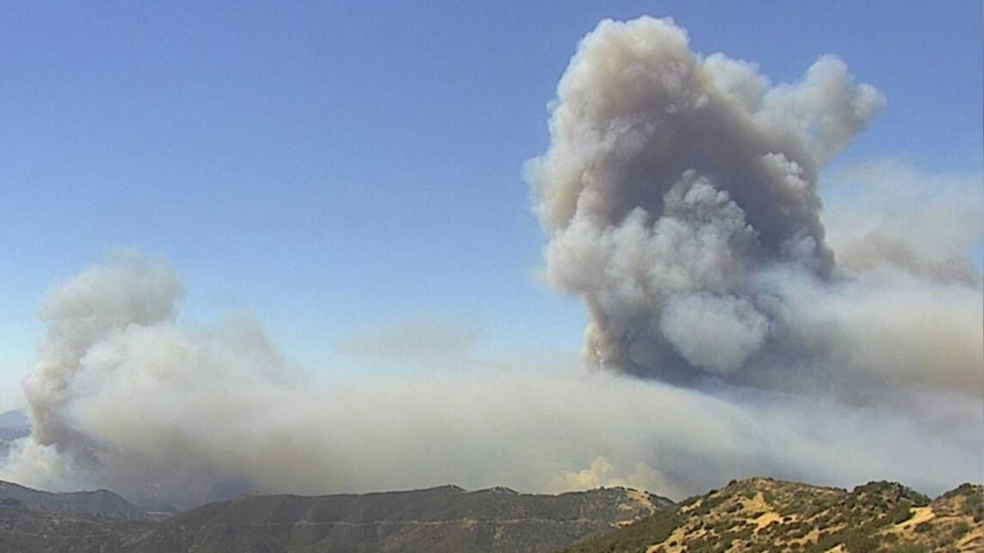
The Gifford Fire, a collection of fires that ignited Friday afternoon along Highway 166 east of Santa Maria, has burned 818 acres so far. CAL FIRE reports that containment of the fire is currently at 0%.
Highway 166 has been closed between Highway 101 and New Cuyama due to the fire. Authorities have not provided an estimated time for when the highway will reopen.
Firefighters began responding to a series of brush fires along Highway 166 near the Gifford Trailhead around 1:55 p.m. According to officials from Los Padres National Forest, four separate fires have appeared along the highway, with sizes ranging from two to 10 acres.
The Gifford Fire has ignited near the location of another fire that occurred just a month ago, which burned a total of 80,779 acres before reaching 100% containment in late July. This is a developing story, and updates will be provided as new information becomes available.


