News
Severe Storms Approaching Oregon and California Coasts This Week
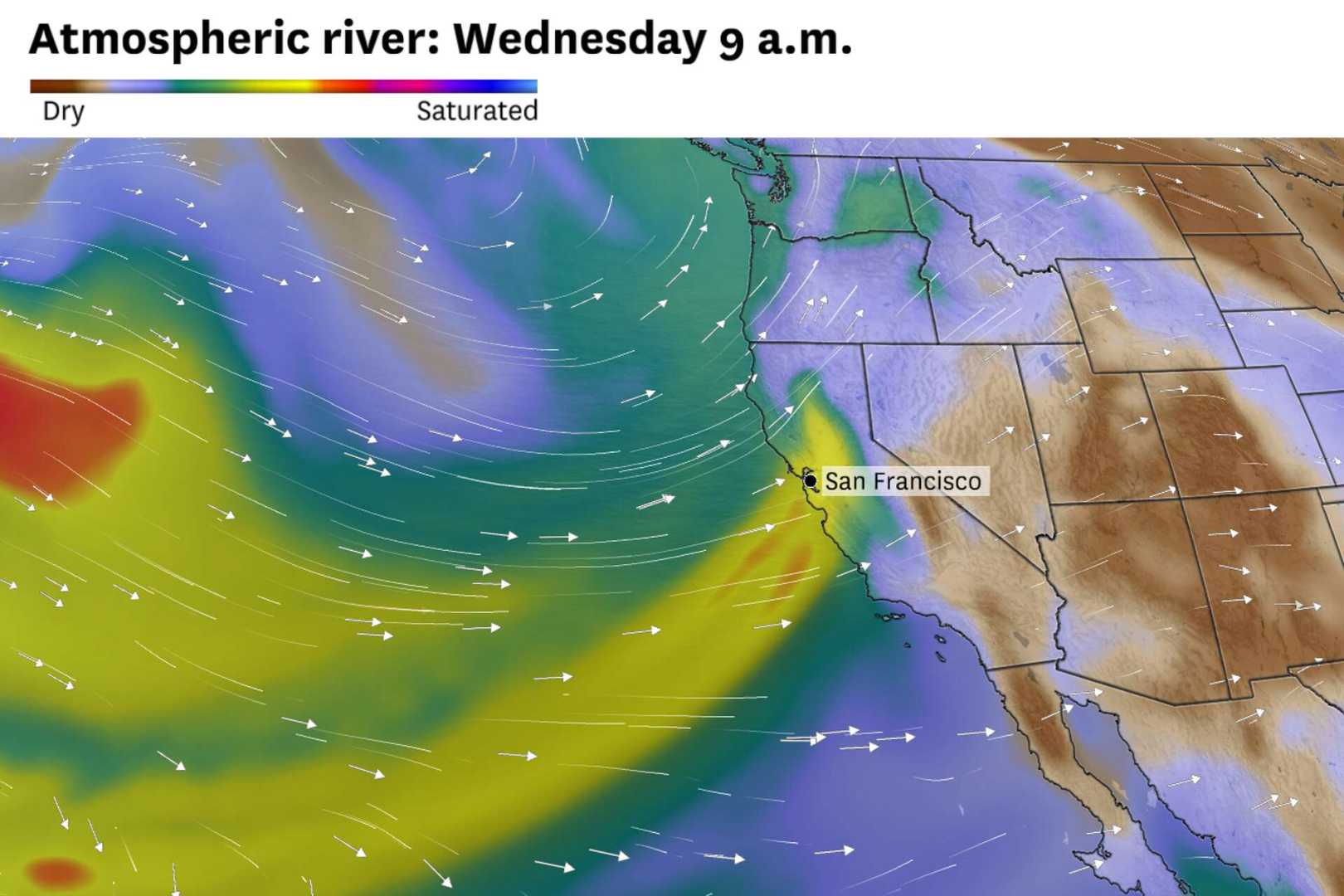
PORTLAND, Oregon — The Pacific Northwest is bracing for a series of severe storms this week, as multiple atmospheric rivers move ashore, bringing heavy rain, snow, and high winds. The first significant storm is expected early Thursday, affecting Northern California and Southern Oregon.
This initial storm will bring powerful winds, with gusts potentially reaching up to 75 mph in higher elevations and over 100 mph at the crest of the Sierra Nevada. The National Weather Service warns that such winds could cause trees to uproot and lead to widespread power outages across the affected areas.
Following a brief reprieve on Thursday, a second storm system will move in late Thursday into Friday, impacting Washington, Oregon, Idaho, and western Montana. Although this storm is expected to be less powerful, it may still bring gusty winds and rain to the lower elevations while snow accumulates in the higher mountains.
Rainfall is projected to reach between 3 to 7 inches across areas from Northern California to Northern Washington, with some isolated regions possibly receiving up to a foot of rain. The risk of flash flooding is heightened due to ongoing rain saturating the ground.
Additionally, the Snoqualmie River in Washington is already showing high water levels from previous storms, heightening concerns for flooding. In the Cascade Range and northern Rockies, some higher elevations could see snow totals of 12 to 18 inches.
Residents are advised to stay alert to changing weather conditions and prepare for the potential impacts of heavy rainfall and strong winds. Predictions indicate that conditions may improve briefly before another storm brings more rain and possible urban flooding this weekend.


