News
Weather Turns Mild Before Major Cold Front Hits Maryland
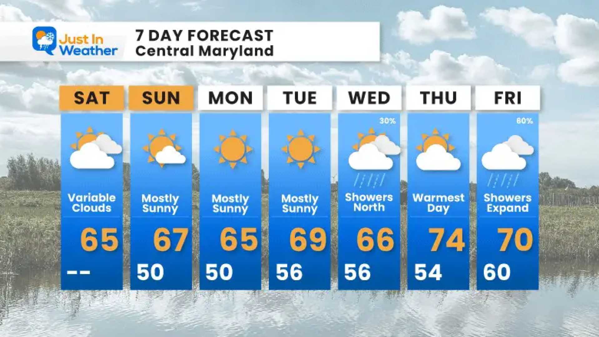
ANAPOLIS, Maryland — After a few pleasant fall days, Maryland is set for a warm-up on Wednesday, followed by a significant drop in temperatures next week. The forecast indicates very mild weather ahead, without any major storms expected, though strong winds will be a key feature.
High temperatures could reach the upper 60s and even low 70s across various parts of the state on Wednesday, driven by gusty southwest winds between 15 to 30 mph. This pattern is set to shift dramatically later as a cold front approaches.
According to the WJZ First Alert Weather Team, the first signs of this change will be felt Wednesday evening when the cold front passes, bringing along clouds and potential light showers. The colder air will start pushing in on Thursday, resulting in a stark contrast with Thursday morning wind chills expected to be in the mid-30s.
“After enjoying the sunny warmth today, many of us will find it quite a shock to step outside tomorrow morning,” a meteorologist from the team said. “Be prepared for a significant temperature drop.”
Friday morning will also bring more frost, with temperatures lingering in the upper 30s during the early hours. However, highs could rebound into the 60s by the afternoon even with increased cloud cover.
“Saturday is looking like the best day for outdoor activities with plenty of sunshine and mild temperatures,” the forecast notes. Slight rain is possible by Friday night, transitioning into a system that could bring showers on Sunday, the last day of the warmer temperatures.
Looking ahead, Monday and Tuesday of next week are set to be the coldest days of the season so far, with highs expected in the 40s and potentially the first lake-effect snow reported in parts of upstate New York.
As more details emerge, residents are encouraged to stay tuned to local forecasts, especially regarding fluctuations in temperature and potential frost.


