News
Winter Weather Alert: Snow Impacts Expected Across Several States
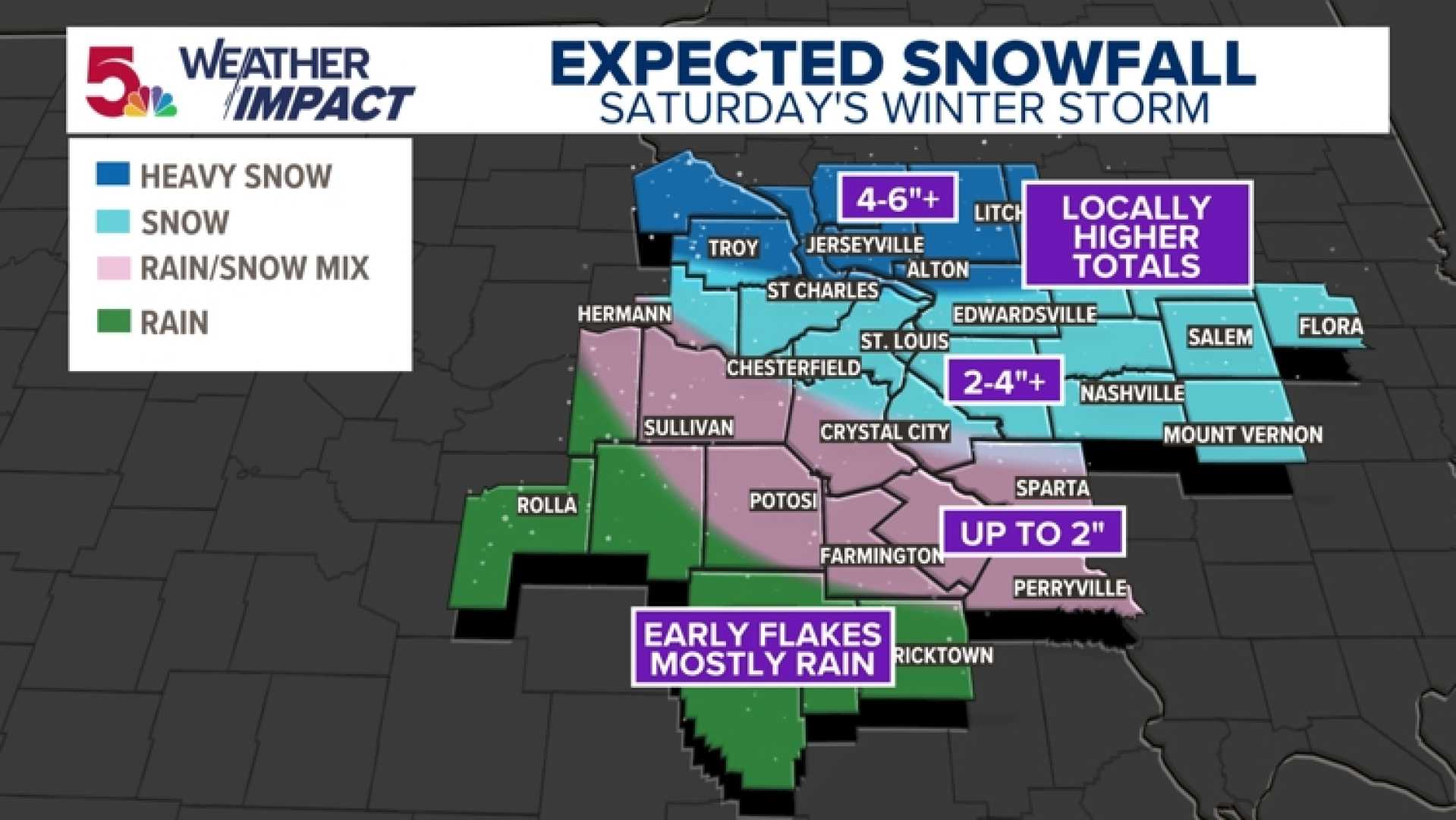
ST. LOUIS — A winter weather system is expected to bring 2-3 inches of snow to parts of the Midwest today, while lower totals are anticipated in southern areas. A Weather Impact Alert is in effect this afternoon as travelers deal with accumulating snow on already slick roads.
Light snow is forecast to begin after noon, with temperatures hovering below freezing, causing any snow to stick immediately. Moderate snow could occur in certain pockets, leading to the larger accumulations.
“The snowfall rates will be much lower compared to Saturday’s storm, but conditions will still cause travel delays,” said KSDK meteorologist John Burchfield. He noted that the bulk of the snowfall is likely to occur during afternoon rush hour, which may further complicate travel.
In addition to snow, a mix of light sleet may develop near Farmington and other southern areas, potentially reducing snow totals there. Overall, most areas are expected to receive between 1-2 inches, while northern regions may see up to 3 inches of snow if heavier bands develop.
Meanwhile, Toledo, Ohio, is also bracing for winter weather tonight with several inches of snow expected. A Weather Impact Alert Day has been issued due to likely travel disruptions for the Tuesday morning commute. Snowfall is expected to start between 8 p.m. and midnight, particularly impacting southern locations.
“With the timing of this storm during the morning rush, slight accumulations could lead to hazardous conditions on untreated surfaces,” predicted meteorologists.
In Kentucky and southern Indiana, a Winter Weather Advisory has also been issued as snow and ice move in late Monday night. Locals should prepare for slick travel as temperatures drop and snow begins falling.
With winter weather systems beginning to ramp up as December approaches, meteorologists are urging residents to stay informed and cautious while traveling.


