News
Arizona Braces for Winter Storm After Record Dry Streak

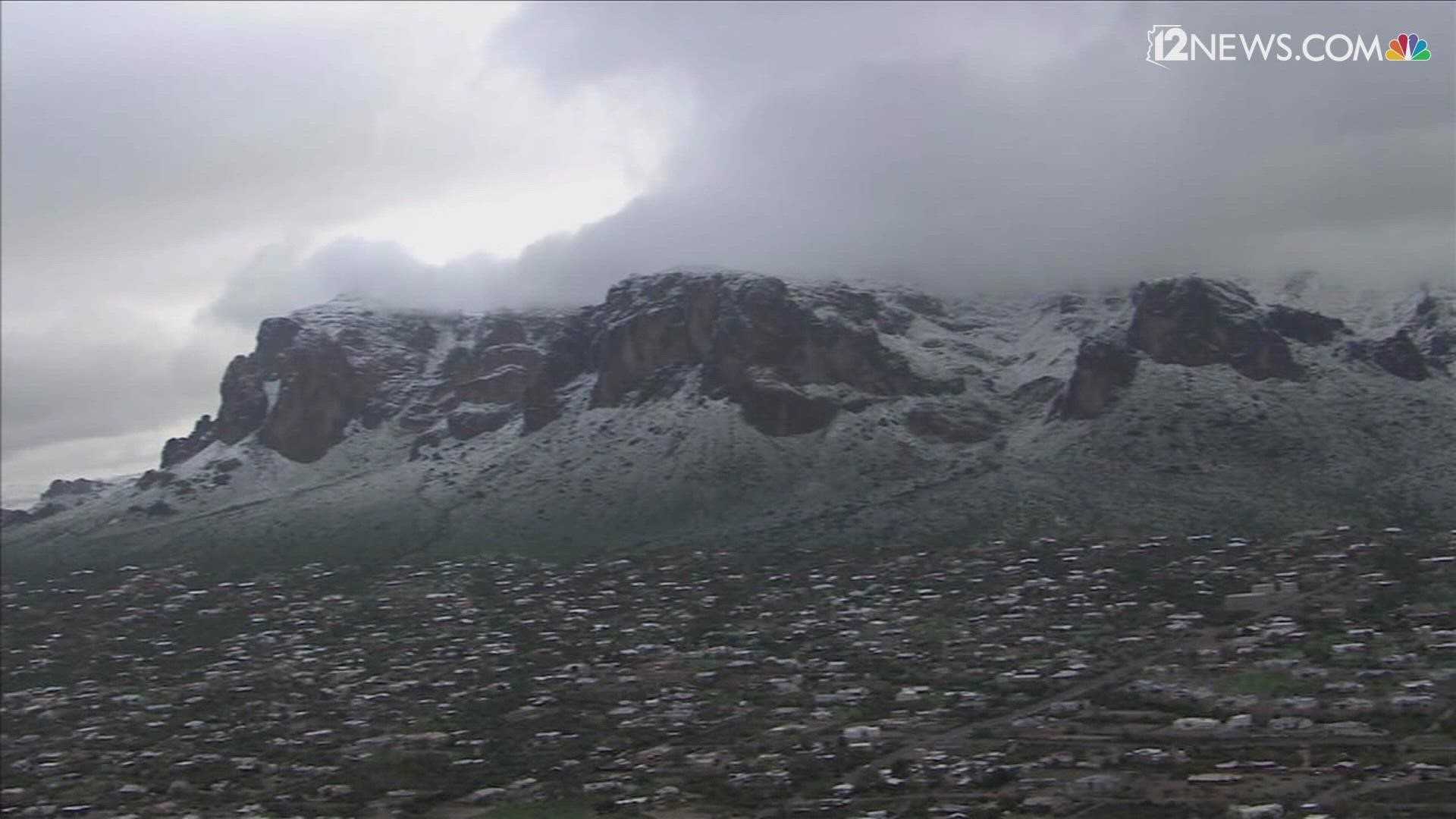
PHOENIX — A low-pressure system moving down the West Coast is set to bring significant weather changes to Arizona next week, including potential snowfall in higher elevations and light rain in the Valley. However, the weekend will remain dry and pleasant, with temperatures in the low 70s, typical for this time of year.
Starting late Sunday, the leading edge of the storm system will enter Mojave County in northwest Arizona, bringing a winter storm watch from 11 p.m. Sunday through 11 a.m. Tuesday. Snowfall is expected to range from 4-8 inches above 7,000 feet and 2-5 inches above 3,500 feet. The storm’s impact on northern and eastern Arizona remains uncertain, with potential snow alerts extending to those regions.
In the Valley, light rain is forecasted for Monday night into Tuesday morning, though not all areas may receive measurable precipitation. Phoenix is currently experiencing its second-longest dry streak on record, with 155 consecutive days without measurable rain as of January 24. If no rain is recorded soon, the city could surpass the 1972 record of 160 dry days.
High winds and dry conditions have also prompted a red flag warning for northeast Arizona, including the Flagstaff area, Mogollon Rim, and White Mountains, from 11 a.m. to 6 p.m. Saturday. Fire danger remains elevated due to the combination of strong winds and arid conditions.
Meteorologists note that the storm’s timing is uncertain, as it will detach from the main jet stream, slowing its progression. Cooler temperatures, cloud cover, and breezy conditions are expected statewide next week, but the extent of rainfall in the Valley remains unclear.
Phoenix’s rainfall averages have declined in recent decades, with the monsoon season (1991-2020) averaging 2.43 inches of rain, down from 2.71 inches (1981-2010). Annual rainfall has also decreased, from 8.03 inches to 7.22 inches over the same periods.


