News
Blizzard Hits Iowa, Creating Dangerous Travel Conditions
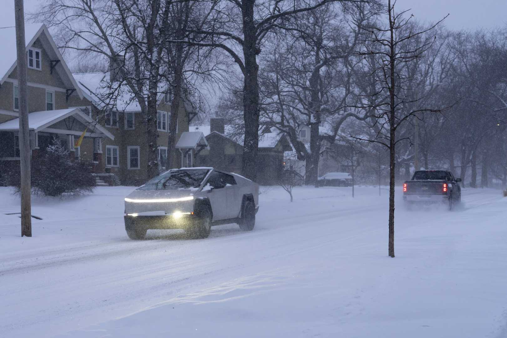
DES MOINES, Iowa — A severe blizzard swept across Iowa on March 5, 2025, bringing dangerous travel conditions and high winds, prompting state authorities to close several roadways and respond to numerous accidents. The storm forced schools across the state to cancel classes and prompted a high wind warning.
The Iowa Department of Transportation reported that Interstate 35 was blocked in both directions between Ankeny and Huxley due to multiple accidents, which resulted in the closure of traffic for several hours. As of Wednesday afternoon, the interstate has since reopened, although travel is still not advised in the area.
“We’re urging residents to stay off the roads if possible,” said Iowa State Patrol spokesperson, Sergeant Alex Dinkla. “The conditions remain hazardous, with low visibility and snow-covered highways.”
The National Weather Service recorded gusts up to 68 mph in areas like Lamoni and over 55 mph in many parts of central Iowa, contributing to severe wind chills and blowing snow that reduced visibility to near-zero at times. The blizzard warning for counties across northern and central Iowa was in effect until 3 p.m. Wednesday, but strong winds continued to create hazardous conditions.
During the storm, state troopers reported responding to 401 calls for service, including 106 crashes, 17 of which resulted in injuries. Troopers were actively assisting stranded motorists throughout the day. At least two emergency vehicles were struck while assisting stranded drivers, highlighting the extreme weather conditions’ dangers.
MidAmerican Energy reported approximately 30,000 power outages at the storm’s peak, with 4,000 reported missing service as of Wednesday afternoon. “Crews are facing significant challenges with high winds and low visibility,” said MidAmerican spokesperson, Geoff Greenwood. “We’re prioritizing outages affecting the most customers to restore power quickly.”
The Iowa DOT advised that many central roads remain partially covered or hazardous, urging residents to check road conditions before traveling. While conditions improved slightly by Wednesday evening, a secondary weather system is expected to bring another round of snow and mixed precipitation late Thursday into Friday.
The forecast predicts a band of additional snowfall of 2 to 4 inches across northern Iowa, with wet conditions anticipated due to higher temperatures. Following a cold and blustery week, warmer temperatures in the 60s are expected for the following week.
In Des Moines, the municipal code requires property owners to clear sidewalks of snow and ice within 48 hours after a snowfall. Failure to comply may result in fines. As the midweek blizzard severely impacted both travel and power agencies, authorities remind residents to stay home and minimize travel during severe weather,” the Iowa State Patrol said.


