News
California Braces for Major Storm with Flood and Travel Risks
SACRAMENTO, Calif. — A powerful winter storm is set to impact California, bringing heavy rain, strong winds, and significant snowfall in the Sierra Nevada mountains ahead of Presidents’ Day Weekend. The storm is expected to begin affecting the region late Wednesday, intensifying throughout Thursday, and could create hazardous conditions for travelers.
According to the National Weather Service (NWS), periods of heavy rain are anticipated, especially between Thursday and Friday, with scattered thunderstorms possible. Localized flooding and debris flows are expected, particularly near burn scars such as those caused by the recent Palisades and Eaton fires.
A Flood Watch will be in effect from late Wednesday through late Friday for regions including the Sacramento Valley and Sierra Foothills. The NWS forecasts rainfall totals of 1 to 2.5 inches for the valley and up to 6 inches for higher elevations, which may result in renewed rises on area rivers and streams.
The threat of heavy rainfall comes after a series of winter storms earlier in February brought record daily rainfall and evacuations across California, raising concerns regarding flooding and mudslides.
“Moderate to heavy rain will impact interior Northern California as the storm system moves through tonight and Friday,” said the NWS. “Heaviest precipitation is expected Thursday, which could provoke minor flooding and rock slides in the foothills.”
High winds are also expected, with gusts reaching up to 50 mph across the Sacramento Valley as a Wind Advisory is issued from Wednesday evening through Friday morning. These strong winds may lead to power outages and hazardous traveling conditions.
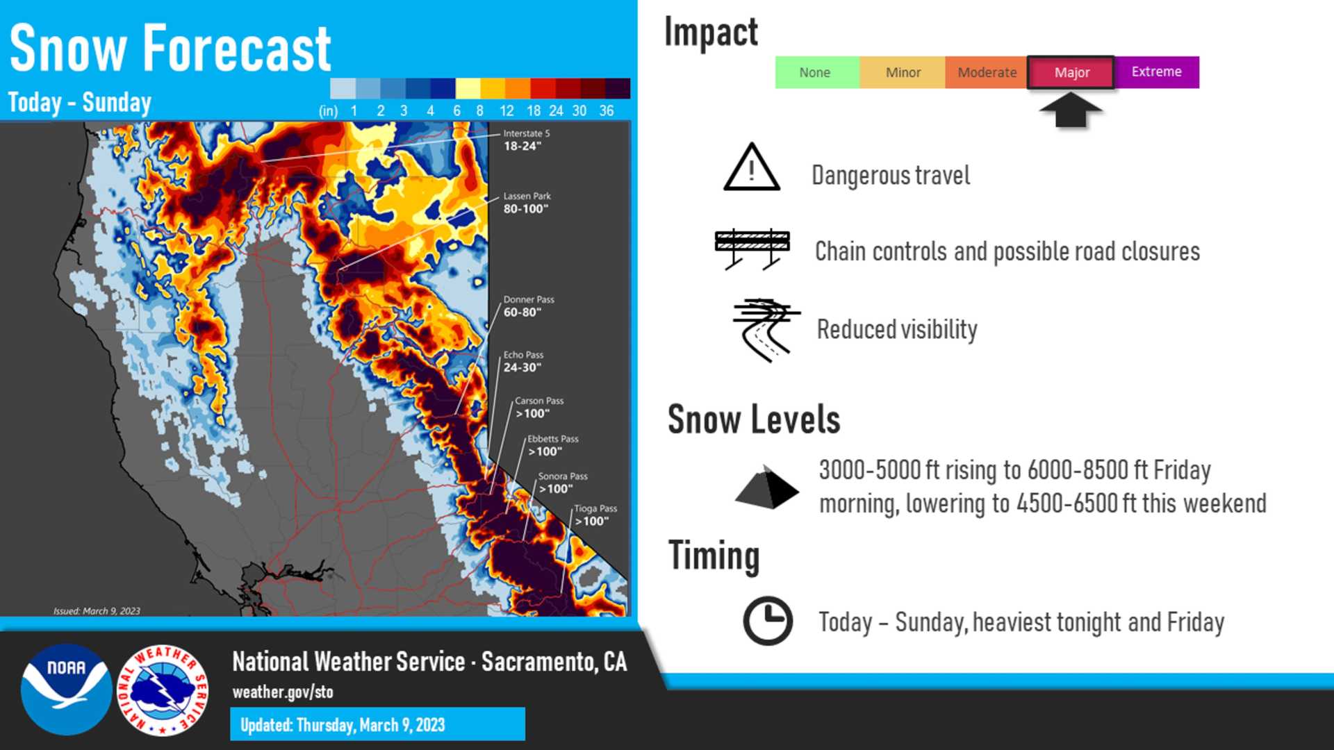
In the Sierra, elevations above 4,500 feet will be under a Winter Storm Warning, with snow accumulation estimated between 2 to 5 feet. The snow level is expected to rise from 3,500 to 6,000 feet before dropping again to around 5,000 feet by Friday. Travel on mountain routes is discouraged as conditions may quickly become treacherous.
“Motorists should avoid mountain travel if possible. In addition to slick roads, chain controls and road closures may occur,” said the NWS.
Folsom Lake, a key reservoir in the region, has already seen significant rises in water levels due to previous storms. As of early February, the lake was at 95% of its historical average, with forecasters noting the potential for even higher inflows from this storm.
Officials are advising residents to prepare for possible flooding, secure loose outdoor items, and stay informed about road closures and conditions as the storm advances. Those traveling in mountain regions should check conditions frequently and be ready for winter driving scenarios.
Forecasters are also warning of the risk for isolated thunderstorms on Thursday, advising that any storm could produce lightning, small hail, and brief heavy rainfall. “When thunder roars, go indoors,” NWS cautioned.
As conditions improve heading into the weekend, showers are expected to taper off by Friday afternoon, with a chance of light showers in some areas on Sunday.


